

Start with the essentials
Plan Malta Island at a glance
- Main base
- Valletta or the harbour area
- Useful time
- 4 to 7 nights
- Main transport
- Bus and harbour ferry
- Car use
- Optional outside cities
- Book first
- Timed archaeological sites
About Malta Island
Why explore Malta Island
Malta Island holds a dense concentration of history within short distances. Valletta and the Three Cities face one another across Grand Harbour, Mdina and Rabat form an inland pair, and major prehistoric sites reveal a much earlier landscape.
The coast broadens the trip without creating one simple circuit. Marsaxlokk, Dingli, Golden Bay and Mellieħa lie in different directions and suit different kinds of day, so a useful plan chooses routes rather than collecting pins.
Plan the region
Use the Grand Harbour as the starting point when history leads the trip. Valletta, Birgu, Senglea and Cospicua need separate time even though ferries and buses connect them closely.
Move inland for Mdina and Rabat, then reserve a different day for the Hypogeum or the southern temple landscape. Timed admission, traffic and exposed walking make these stronger as planned visits rather than spontaneous additions.
Choose where to spend your time
Places to explore
16 guides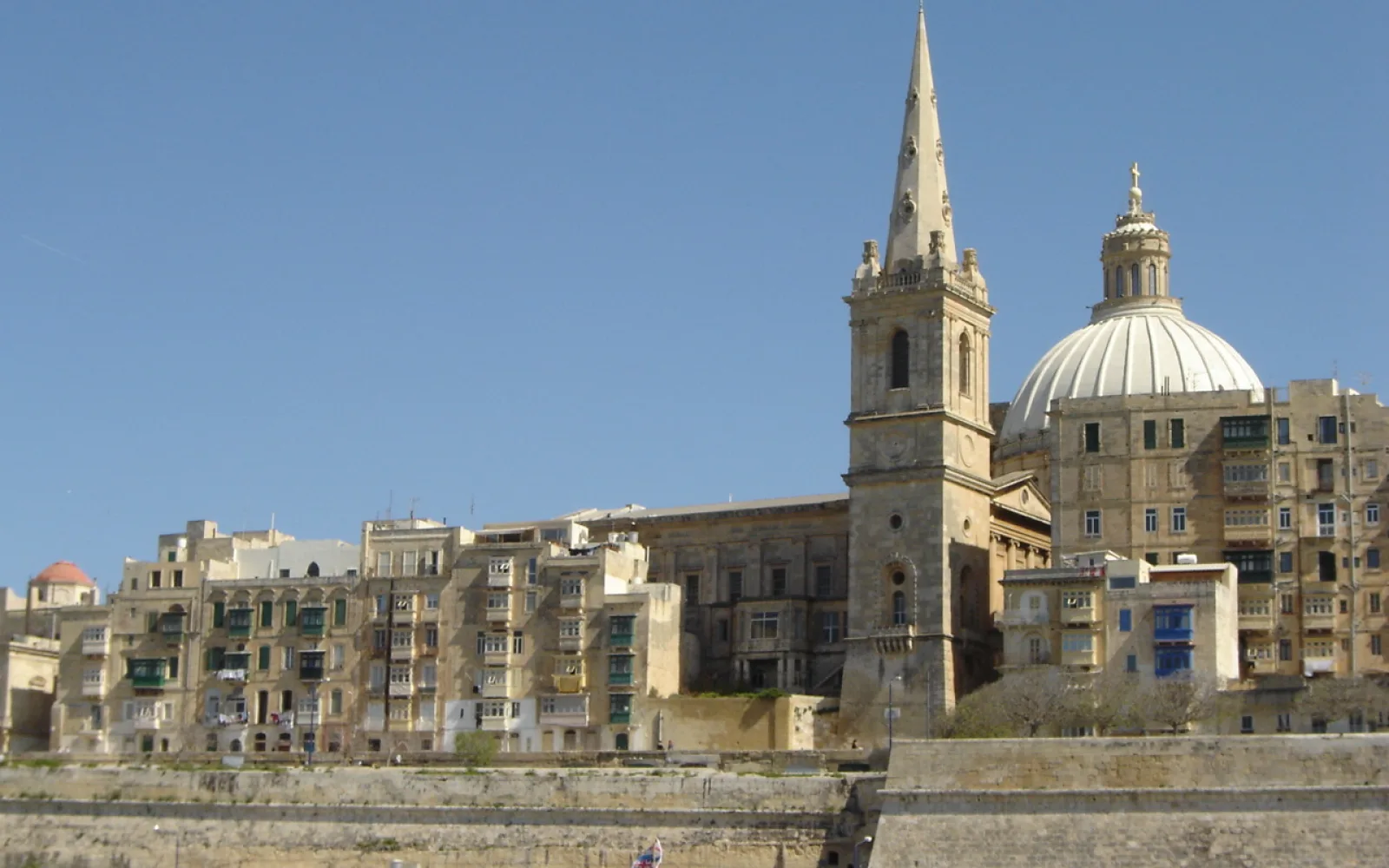
Valletta
Valletta is a compact living capital where major museums, limestone streets and Grand Harbour viewpoints sit within a walkable fortified centre.
Open guide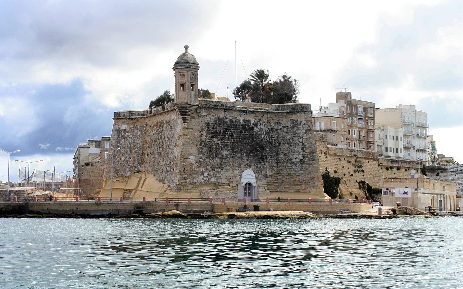
Three Cities
Birgu, Senglea and Cospicua form a connected Grand Harbour area with fortifications, residential streets and a long maritime history.
Open guide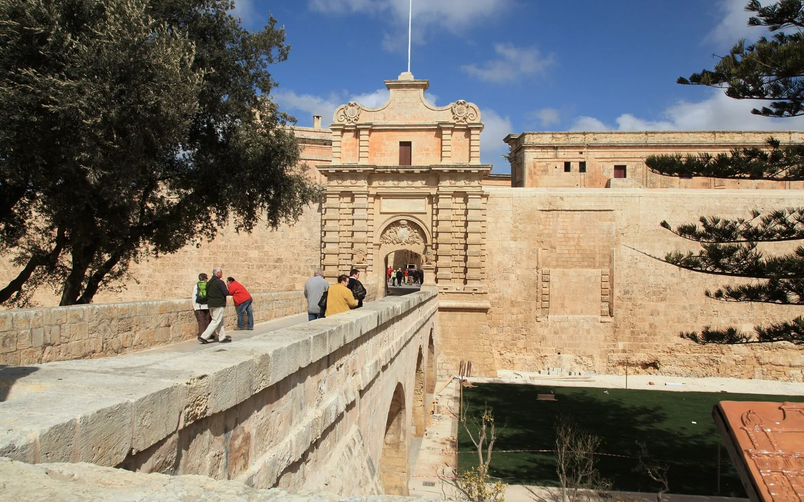
Mdina
Mdina is a small fortified city whose quiet lanes, historic interiors and bastion views work best when paired with neighbouring Rabat.
Open guide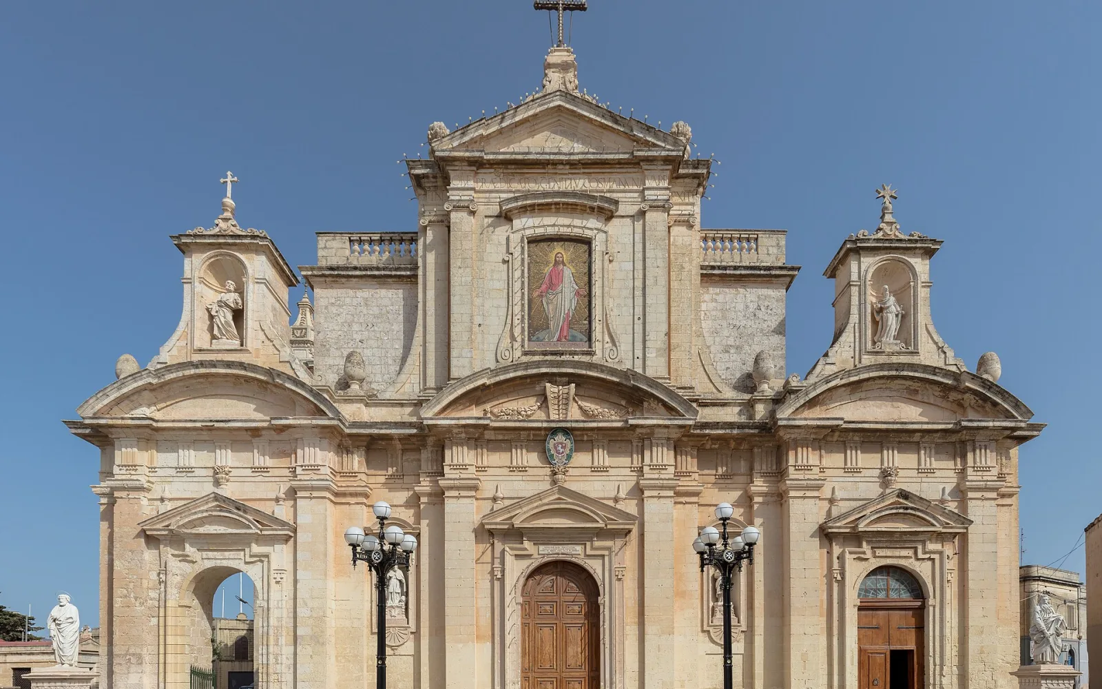
Rabat, Malta
Rabat is Mdina’s lived-in neighbour, with extensive underground archaeology, parish streets and several heritage sites outside the fortified city.
Open guide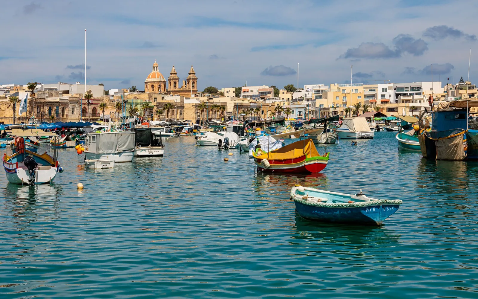
Marsaxlokk
Marsaxlokk is a working fishing harbour whose colourful boats, waterfront restaurants and changing market rhythm make it a focused south-east Malta stop.
Open guide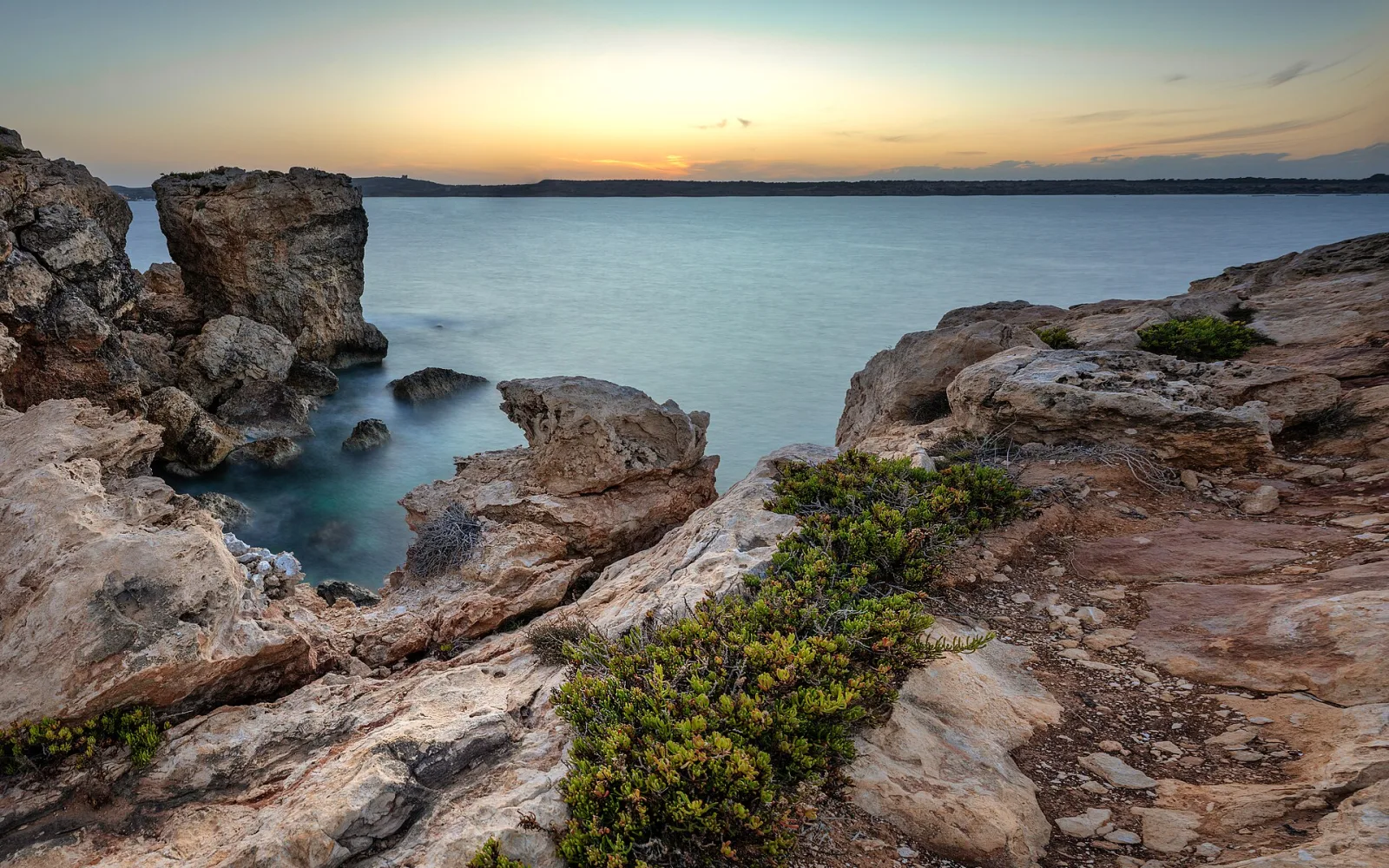
Mellieħa
Mellieħa spreads from a steep hill town toward Għadira Bay and Malta’s northern ferry approaches, making location important when choosing a base.
Open guide
Ħal Saflieni Hypogeum
The Ħal Saflieni Hypogeum is a UNESCO-listed underground prehistoric complex in Paola with tightly controlled visitor access.
Open guide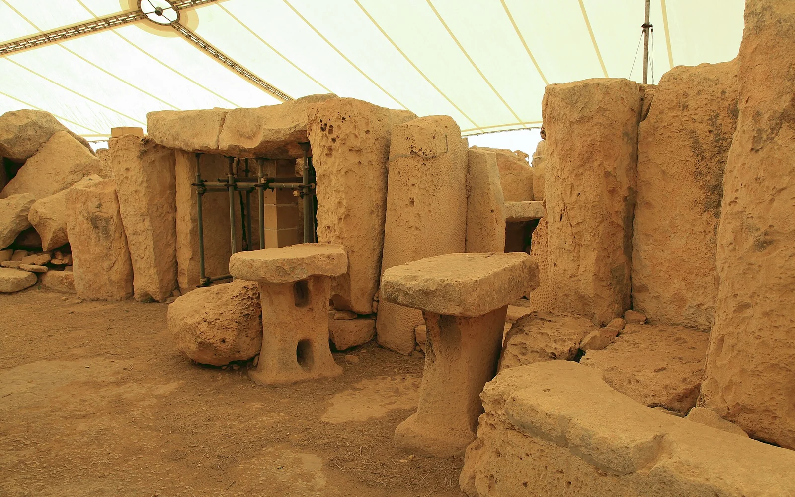
Ħaġar Qim and Mnajdra
Ħaġar Qim and Mnajdra are two UNESCO-listed prehistoric temple complexes set within an exposed archaeological landscape above Malta’s south coast.
Open guide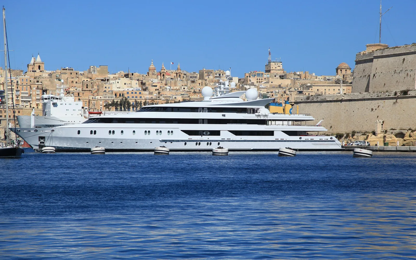
Birgu
Birgu combines Fort St Angelo, a compact historic core and a lively marina at the most visitor-rich end of the Three Cities.
Open guide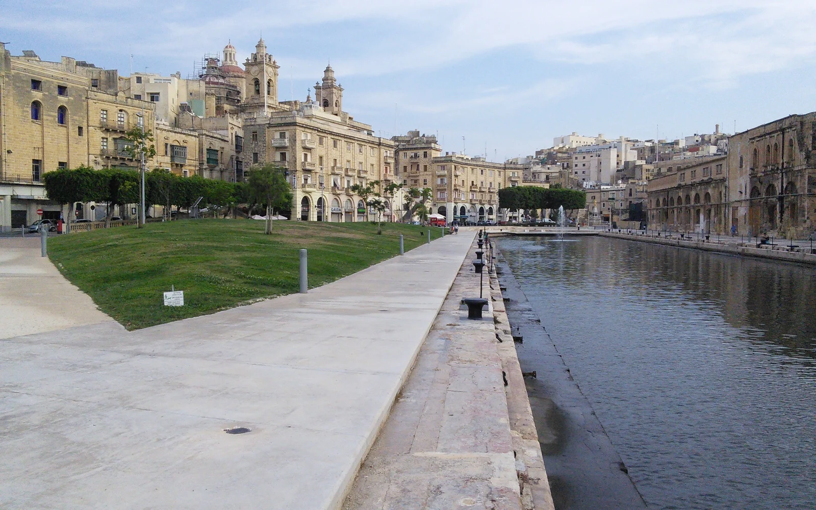
Cospicua
Cospicua connects Birgu and Senglea around Dockyard Creek, combining restored waterfront space, fortifications and active local streets.
Open guide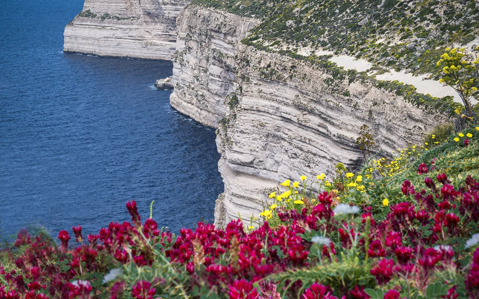
Dingli Cliffs
Dingli Cliffs form a long, exposed section of Malta’s high western coast rather than one formal viewpoint or enclosed attraction.
Open guide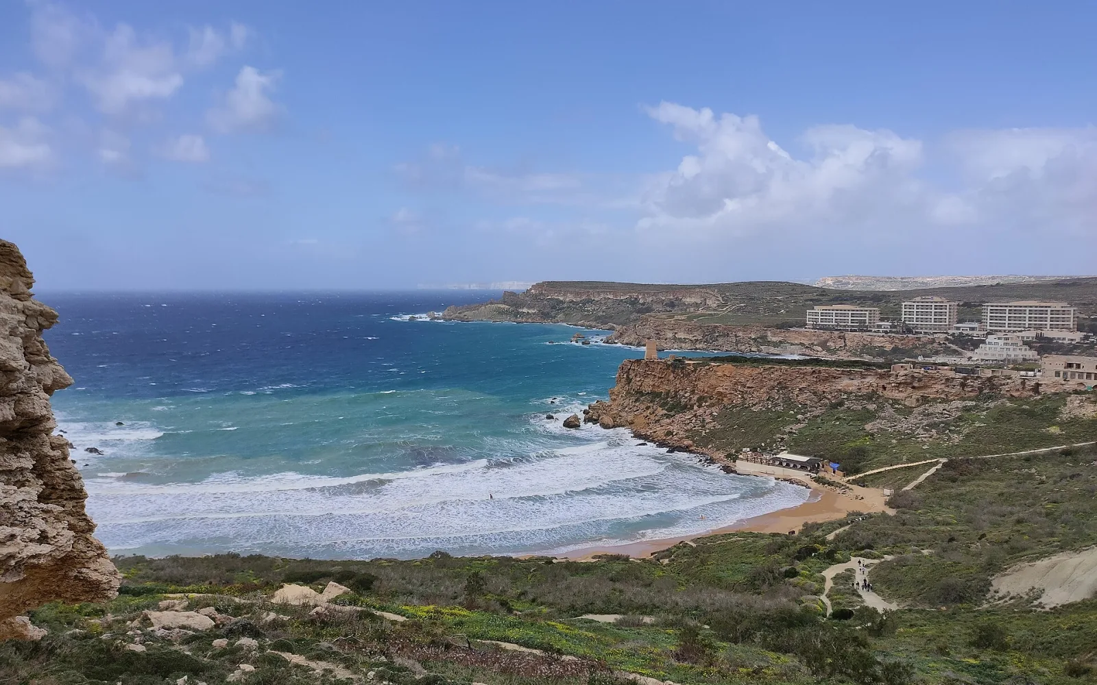
Golden Bay and Għajn Tuffieħa coast
Golden Bay and Għajn Tuffieħa are neighbouring north-west beaches with different access, facilities and walking conditions.
Open guideSenglea
Senglea is a narrow fortified peninsula whose residential streets lead to Gardjola Gardens and a wide view across Grand Harbour.
Open guide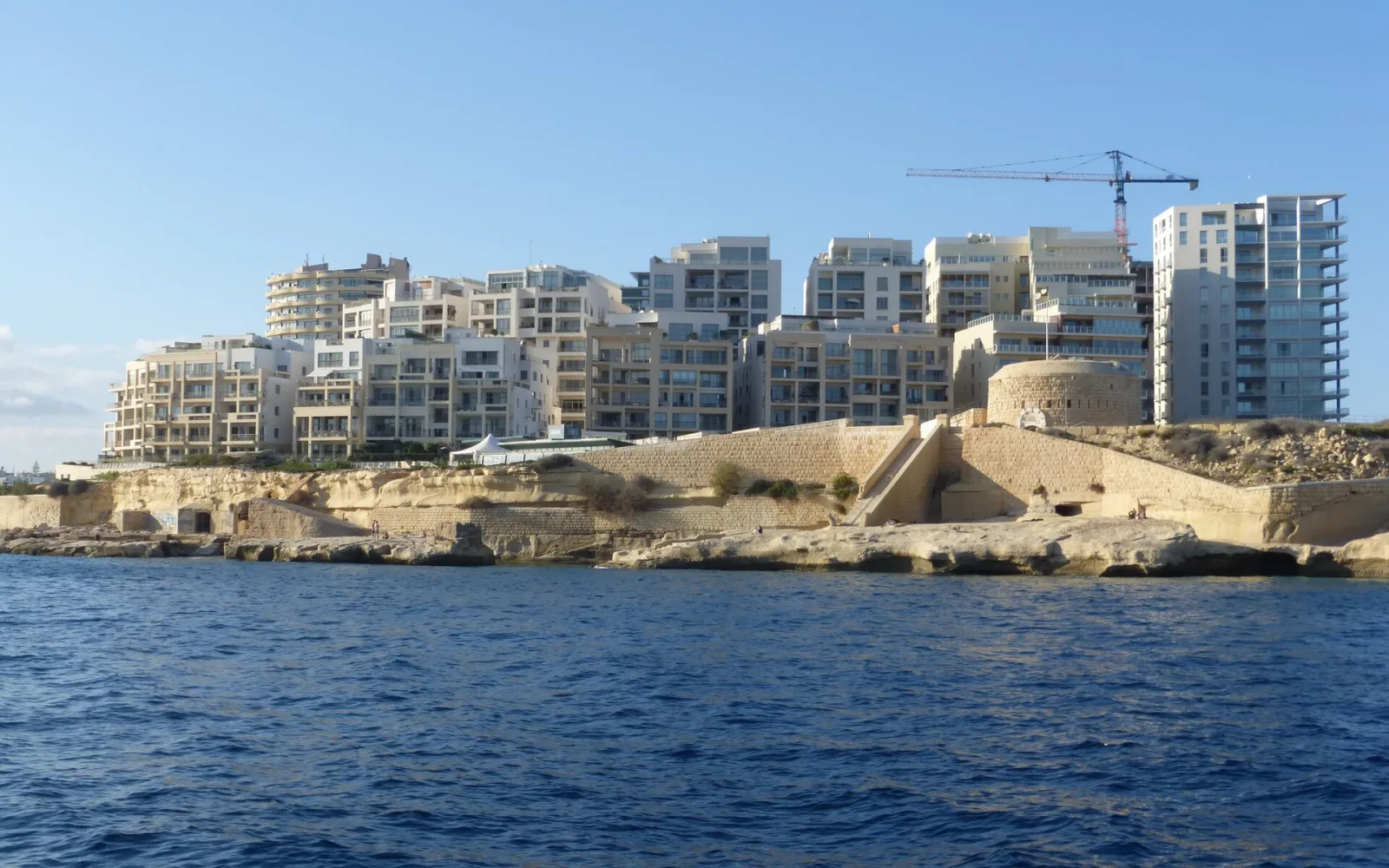
Sliema
Sliema is a busy waterfront base with a long promenade, frequent transport and a direct passenger ferry across Marsamxett Harbour to Valletta.
Open guide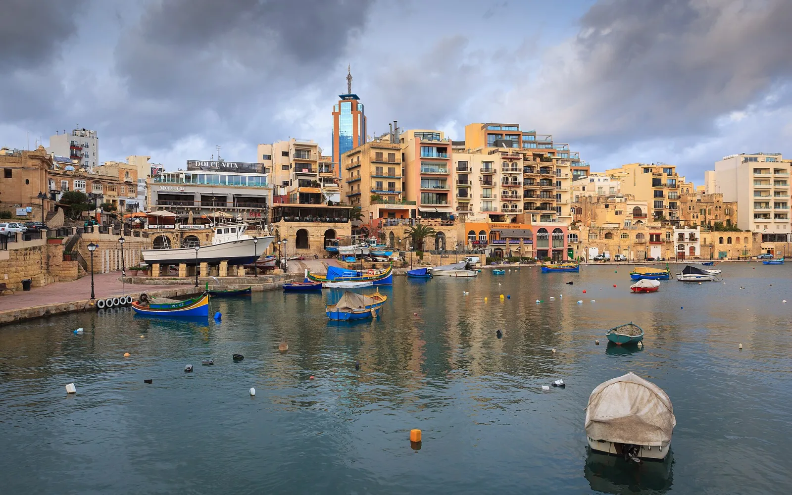
St Julian’s
St Julian’s combines Spinola Bay, waterfront dining and Malta’s busiest nightlife district within one dense but varied coastal area.
Open guide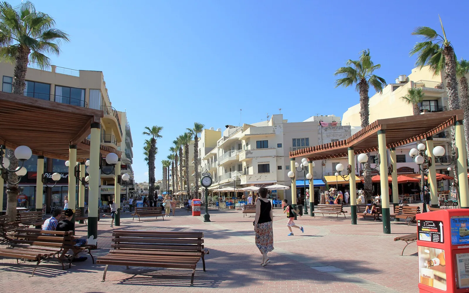
St Paul’s Bay, Buġibba and Qawra
St Paul’s Bay, Buġibba and Qawra form a broad northern resort area with different waterfronts, evening atmospheres and transport positions.
Open guideBuild a coherent route
Plan by area
Valletta and Grand Harbour
Base near Valletta for museums and ferry access, then cross to Birgu, Cospicua and Senglea for a full harbour day. The Three Cities deserve more than a distant view from the bastions.
Mdina and Rabat
Walk between the walled city and neighbouring Rabat without adding a transfer. Mdina supplies the fortified lanes, while Rabat adds underground archaeology and an active town centre.
Prehistoric south
The Hypogeum requires a confirmed timed entry. Ħaġar Qim and Mnajdra form a separate open-air archaeological park on the south coast, with sun and wind shaping the visit.
North and west coast
Mellieħa, Golden Bay and Dingli are different outings. Choose the sandy bays, high-cliff landscape or northern base according to sea conditions and the wider route.
See the main travel bases
See Malta Island’s main route choices
Loading the map…
The markers separate the Grand Harbour, inland cities, prehistoric sites and northern coast. These areas fit different bus corridors, so the map is a planning aid rather than a one-day route.
Match the route to your time
What fits into your trip
Harbour and inland history
Give Valletta a full day, cross to the Three Cities on the second, then pair Mdina with Rabat. This leaves no honest room for every coast or prehistoric site, so choose one only if it replaces part of the city plan.
Main island with one coast
Keep the three heritage days, add a confirmed archaeological visit and reserve one day for Marsaxlokk, Dingli or the northern coast. One harbour-area base can work if each day follows a single direction.
A slower Malta Island route
Allow two days around Grand Harbour, a full Mdina and Rabat day, one archaeological day and two distinct coast choices. The spare time absorbs traffic, weather or a museum that deserves longer than expected.
Link the stops sensibly
Routes and day trips
Malta Island is compact, but its bus corridors and harbour crossings shape the day. Group places by direction and protect any timed archaeological admission from a tight connection.
Suggested regional routes
Valletta and the Three Cities
Choose one major Valletta interior in the morning, then cross the harbour for Birgu and one additional city. A complete Three Cities walk needs its own day when museums are a priority.
Open destination guideMdina and Rabat
Start with whichever interior has the strictest hours, then walk between the two centres. St Paul’s Catacombs need enough time underground and should not be the final rushed stop.
Open destination guideSouthern temple landscape
Visit both Ħaġar Qim and Mnajdra at a steady pace. Add a coast stop only when transport, daylight and sea conditions genuinely support it.
Open destination guideRegional itineraries
Valletta, Mdina and the Three Cities in 6 days
Six days of Malta heritage using Valletta as the main base, with focused visits to Mdina, Rabat and the Three Cities.
Malta Island coast route in 7 days
A seven-day route linking Valletta with the southeast and northwest coasts without treating Malta’s short distances as quick journeys.
Regional day trips
Dingli Cliffs from Valletta
A bus-and-walking day from Valletta using one exposed Dingli coast section and a return completed before dark.
Mdina and Rabat from Valletta
A full inland day from Valletta pairing Mdina’s walled streets with one carefully chosen Rabat site.
The Three Cities from Valletta
A harbour day from Valletta using the ferry to Cospicua, then a measured route through Birgu and one second city.
Wider itineraries
These routes include Malta Island but continue to other parts of Malta.
Malta and Gozo in 9 daysTrips beyond the region
These trips use Malta Island as a starting point but cross into a neighbouring region.
Comino and Blue Lagoon day planning Gozo from Malta Island for one dayChoose transport by destination
Getting around Malta Island
Buses cover the main towns and many coast areas, while harbour ferries link Valletta with Sliema and the Three Cities. Congestion and exposed walking make timetable margins important.
Buses
Use the official journey planner for the travel date. A direct-looking road can still be slow, and some coast routes require a change or a walk from the stop.
Harbour ferries
Ferries can make Valletta, Sliema and the Three Cities easier to combine. Check current schedules and weather status, then keep a bus alternative.
Driving
A car helps with rural and coast days but adds parking pressure around historic centres. It is rarely useful inside Valletta or the Three Cities.
Choose dates that suit the route
When to visit
Spring and autumn suit city walking and exposed archaeology. Summer needs an earlier start, more shade breaks and a realistic response to crowded beaches.
Winter can bring excellent walking weather, but wind and rough seas may affect ferries and coast activity. Keep an inland heritage alternative.
Read the seasonal guide for MaltaAvoid common route problems
Planning checks
Do not trust short map distances
Traffic, bus changes and the walk between terminals can turn a short line on the map into a substantial journey. Leave margin before any timed entry.
Confirm archaeological access
The Hypogeum has restricted admission, while temple opening and conservation arrangements can change. Use current Heritage Malta information.
Let conditions choose the coast day
Wind, waves and heat affect swimming and exposed walking. Keep one inland route ready instead of forcing the intended coast plan.
Quick answers
Questions about Malta Island
How many nights should I spend on Malta Island?
Four nights cover the main heritage areas quickly. Six or seven nights allow archaeology and one or two coast days.
Can I stay in one base?
Yes for Malta Island, although the north is less convenient for repeated Valletta and south-island days.
Do I need a car?
No for a first heritage-led trip. A car adds flexibility for coast areas but brings parking and traffic.
Which attraction should I reserve first?
Check the Ħal Saflieni Hypogeum first because access is tightly limited and date-specific.
How this guide is checked
Sources and review
Reviewed 3 September 2026, next review due 3 March 2027. Services, access rules and opening arrangements can change, so check the official source before travel.
- Official Malta destination information, Visit Malta
- Malta public transport, Malta Public Transport
- Visit Malta, Malta Tourism Authority
- Visiting Malta, Malta Public Transport
- Ferry schedule, Valletta Ferry Services
- World Heritage sites in Malta, Malta Tourism Authority
Continue through Malta
Regions that connect naturally
Gozo Island
Gozo combines the Cittadella, prehistoric Ġgantija, village squares and rugged coasts within an island that rewards at least one overnight stay.
Comino Island
Comino is a small, sparsely inhabited island where the Blue Lagoon visitor system, boat arrangements and sea conditions determine most day trips.
Continue planning
See more of Malta
Use the country guide to compare Malta Island with other regions and destinations in Malta.