
Start with the essentials
Plan Normandy at a glance
- Useful bases
- Rouen and Bayeux
- Useful time
- 5 to 8 days
- Main transport
- Rail plus local road travel
- Car use
- Useful for the landing beaches
- Main limit
- Distances and changeable weather
About Normandy
Why explore Normandy
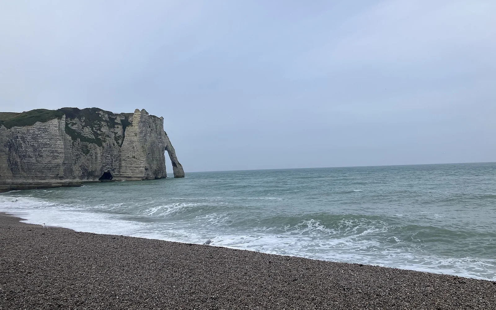
Normandy brings several periods of European history into one journey, from Rouen’s medieval centre and Bayeux’s famous embroidery to the Second World War coast. The landscapes around them include estuaries, cliffs, farmland and long tidal shores.
The region rewards time rather than speed. The D-Day sites are spread along the coast, Mont-Saint-Michel sits well west of Bayeux, and rural public transport does not connect every place in a useful sightseeing sequence.
Plan the region
Use Rouen for eastern Normandy and Bayeux for the central historic coast. Add Mont-Saint-Michel as a separate western day or overnight rather than assuming it fits easily beside the landing beaches.
Rail is useful for reaching the main towns. For rural coast sites, choose a guided tour, planned bus or car day and keep the number of stops low enough to understand what each place represents.
Choose where to spend your time
Places to explore
4 guides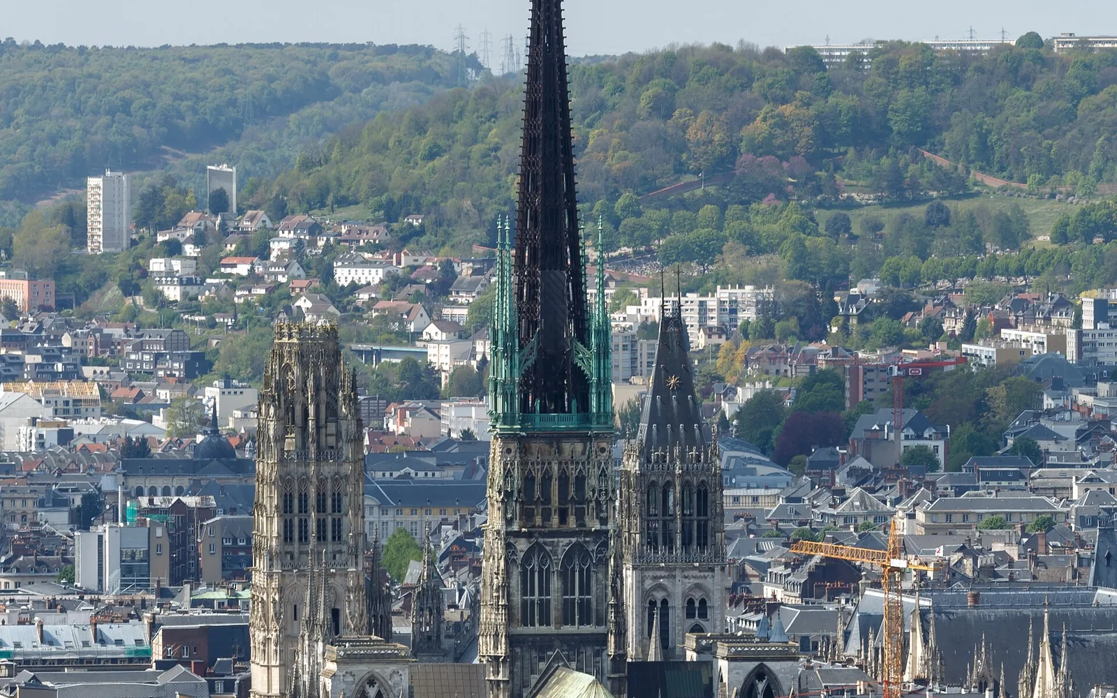
Rouen
Normandy’s historic capital combines a monumental cathedral, timbered streets, major museums and Seine-side districts within an easy rail trip from Paris.
Open guide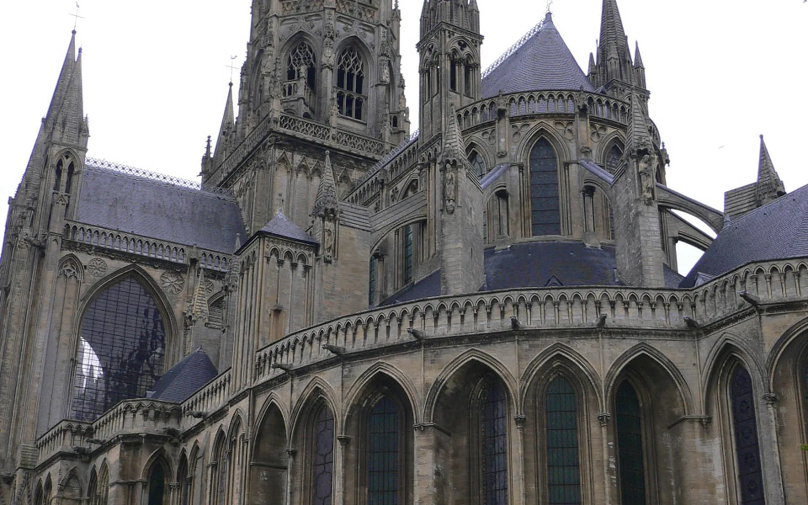
Bayeux
A compact Norman town known for its medieval embroidery, cathedral and preserved centre, with a practical role as a base for the D-Day coast.
Open guide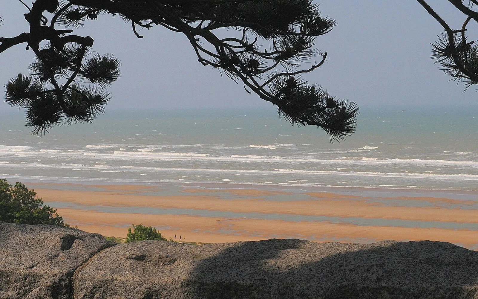
D-Day Landing Beaches
A long memorial landscape of five landing sectors, cemeteries, museums and surviving defences that cannot be understood as one beach stop.
Open guide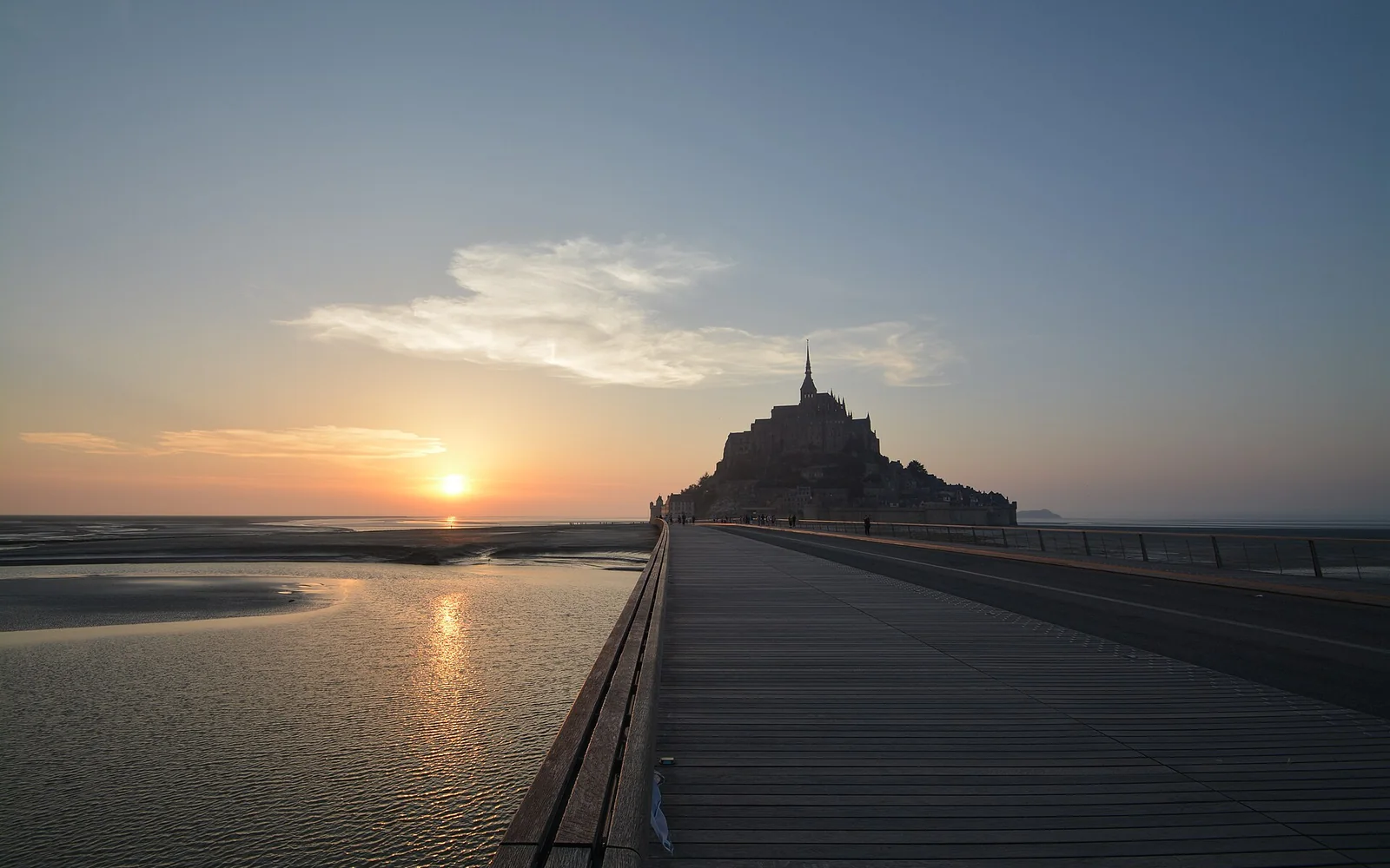
Mont-Saint-Michel
Mont-Saint-Michel is a tidal settlement and steep medieval abbey reached across a broad bay from mainland parking and transport facilities.
Open guideBuild a coherent route
Plan by area
Rouen and the Seine
The cathedral, medieval streets and museums make Rouen a full city stop with direct rail links from Paris.
Bayeux and the D-Day coast
Base in Bayeux for its historic centre, tapestry and organised or self-driven routes to selected landing sites.
Mont-Saint-Michel
Treat the tidal abbey and approach as a dedicated day, checking shuttle, tide and return arrangements.
See the main travel bases
See the main Normandy stops covered here
Loading the map…
Rouen, Bayeux, the landing beaches and Mont-Saint-Michel are spread across different parts of Normandy. More than one base may be sensible.
Match the route to your time
What fits into your trip
One Normandy focus
Choose Rouen and the Seine, or Bayeux with one carefully planned coast day. A short visit cannot comfortably include eastern Normandy, the landing beaches and Mont-Saint-Michel without spending most of the available time in transit.
City and central coast
Spend two nights around Rouen and three around Bayeux, or stay entirely in the west if wartime history is the priority. Select a limited group of coast sites rather than attempting every beach and museum.
Normandy across two or three bases
Link Rouen, Bayeux and a western stay near Mont-Saint-Michel, with one uncommitted period for weather or a longer museum. This pace supports city history, the coast and the tidal abbey without unnecessary daily hotel changes.
Link the stops sensibly
Routes and day trips
Normandy works as an east-to-west trip with chosen bases. The D-Day coast is a network of separate sites, not one attraction at a single address.
Suggested regional routes
Rouen and the Seine
Walk the medieval centre, visit the cathedral and choose one museum before continuing west by rail.
Open destination guideBayeux and selected landing sites
Give Bayeux its own time, then use one organised or self-driven day for a coherent section of the coast.
Open destination guideMont-Saint-Michel
Allow for the approach, abbey, lanes, crowds and return rather than combining it with a long D-Day route.
Open destination guideChoose transport by destination
Getting around Normandy
Trains reach Rouen, Bayeux and other main towns from Paris, but the rural coast needs a second transport plan. Road time rises quickly on summer and event dates.
Rail
Use trains between Paris and the main bases, then check the station-to-hotel and onward local connection.
Guided coast tours
A small-group tour can join selected D-Day sites efficiently while providing historical context. Compare the actual route before booking.
Car
Driving offers flexibility for rural museums, cemeteries and beaches. Plan fewer stops and allow time for parking and reflection.
Choose dates that suit the route
When to visit
Late spring to early autumn gives longer coast days, but popular towns and major commemorative periods need earlier booking. Rain and wind remain possible.
Winter supports quieter city visits, while rural attractions may shorten hours. Tides matter at Mont-Saint-Michel throughout the year.
Read the seasonal guide for FranceAvoid common route problems
Planning checks
Do not call the coast one stop
Beaches, museums and memorials are spread over a wide area and represent different parts of the landings.
Separate Mont-Saint-Michel
Its location and visitor process make it a dedicated day from most Normandy bases.
Leave weather room
Coastal wind and rain can slow outdoor visits and make a flexible museum alternative valuable.
Quick answers
Questions about Normandy
Where should I stay in Normandy?
Rouen suits the east and Bayeux suits the central D-Day coast. Add a western base if Mont-Saint-Michel is central to the trip.
Do I need a car for the D-Day beaches?
A car or guided tour is usually the most practical choice because the sites are dispersed.
How many days do I need?
Five days cover two main areas. Seven or eight allow Rouen, Bayeux, coast history and Mont-Saint-Michel at a better pace.
Can I visit Normandy as a day trip from Paris?
Rouen can work as a focused rail day. The D-Day coast and Mont-Saint-Michel deserve longer, separately planned visits.
How this guide is checked
Sources and review
Reviewed 2 September 2026, next review due 2 March 2027. Services, access rules and opening arrangements can change, so check the official source before travel.
- Official French rail journey planner, SNCF Connect
- Official Normandy visitor information, Normandy Tourism
- Official Mont-Saint-Michel Abbey visitor information, Centre des monuments nationaux
Continue through France
Regions that connect naturally
Île-de-France
Paris sits within a wider capital region of royal estates, forests, new towns and busy suburban rail routes.
Brittany
Granite coasts, walled towns, islands and a strong regional identity shape France’s north-western peninsula.
Loire Valley
The Loire Valley is a long river landscape of royal châteaux, gardens, towns and vineyards where careful base selection prevents wasted travel.
Continue planning
See more of France
Use the country guide to compare Normandy with other regions and destinations in France.