
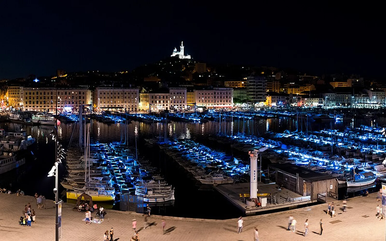
Marseille is spread across a large urban coastline. The Vieux-Port, Le Panier and MuCEM form one central route, while Notre-Dame de la Garde, beaches and Calanques access point in different directions.
Treat a Calanques day as an outdoor plan with official restrictions, weather and suitable equipment. It should not be squeezed between city attractions.
Begin at the Vieux-Port
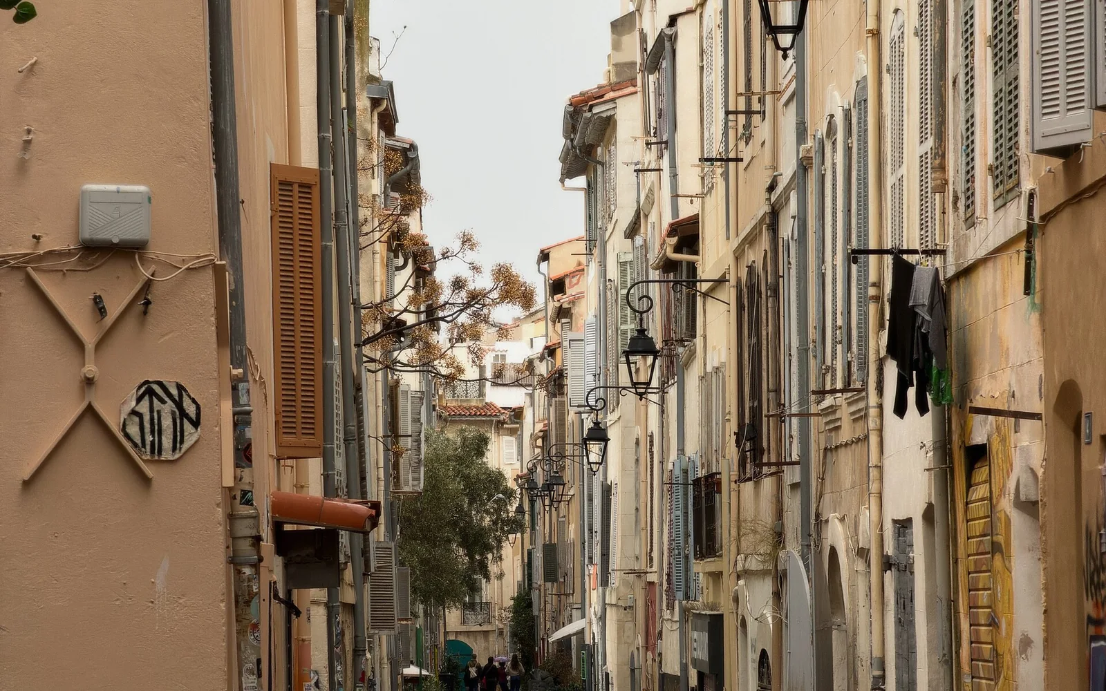
Use the port to orient the city, then walk toward Le Panier, the waterfront museums and Fort Saint-Jean.
See the city from its hills
Notre-Dame de la Garde gives broad views but sits high above the centre. Use public transport if the climb is unsuitable.
Prepare for the Calanques
Access can be regulated for fire risk, traffic and visitor pressure. Some trailheads require buses followed by long, rough walks. Check the official status on the day.
A practical itinerary
- Day 1: explore the Vieux-Port, Le Panier and waterfront museums.
- Day 2: visit Noailles, the centre and Notre-Dame de la Garde.
- Day 3: follow an officially open Calanques route suited to the conditions.
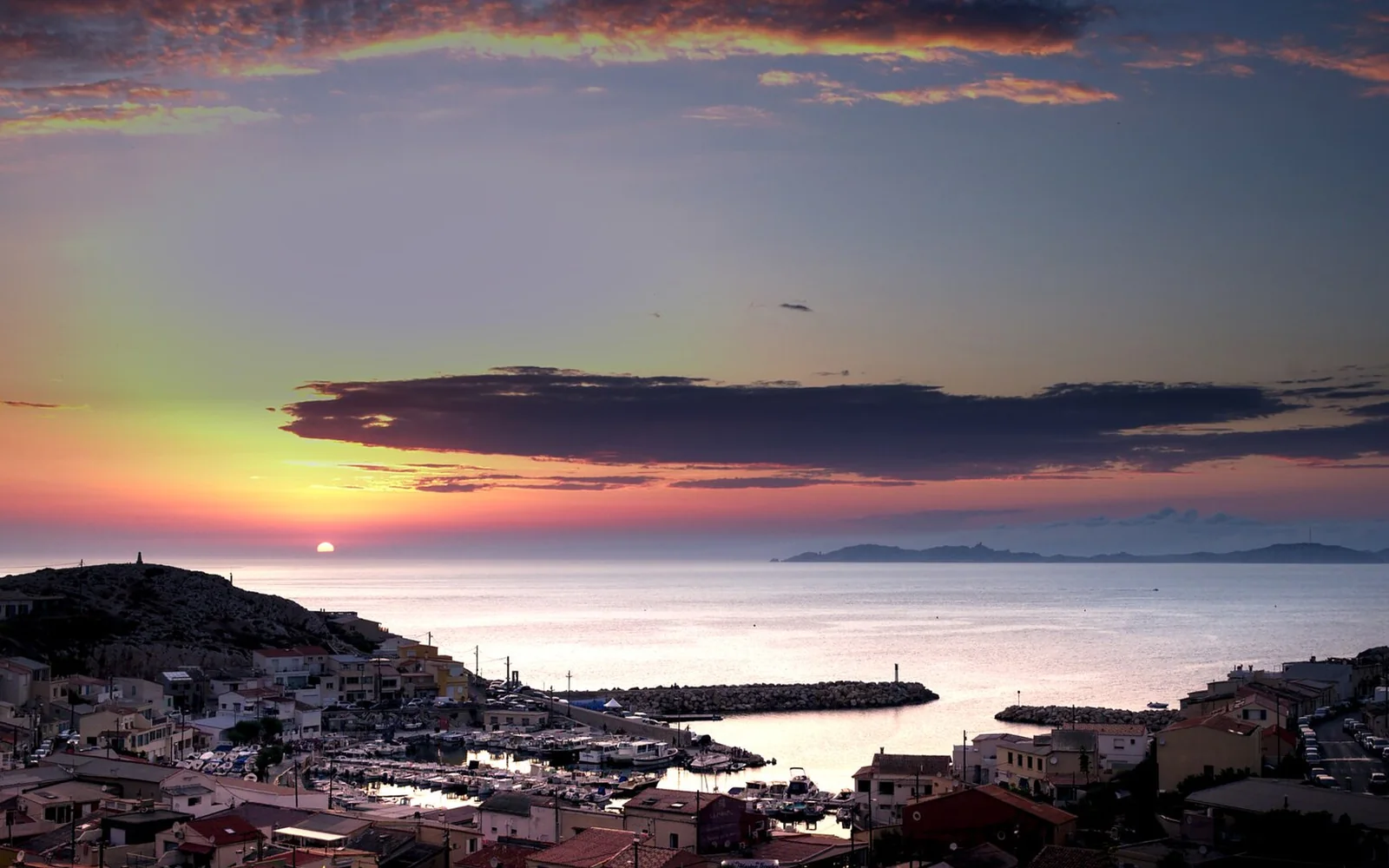
- Day 4: add the coast, Frioul islands or a slower neighbourhood day.
Getting there
Marseille Saint-Charles is the main rail station and sits above the centre. Airport coaches and regional trains use different arrival points. The station’s hill position matters with luggage.
Getting around
Metro, tram, bus and ferry services cover central and coastal areas. Distances are large, and buses to Calanques approaches still leave substantial walking on some routes.
Food to look for
Marseille’s food reflects Mediterranean trade, with seafood, panisse, navettes, North African influences and Provençal produce. Bouillabaisse is a specific prepared dish, so choose restaurants with clear menus rather than treating it as a casual soup.
When to visit
Spring and autumn suit mixed city and outdoor days. Summer is hot and subject to Calanques fire controls. The mistral and rough seas can affect exposed routes and boats in any season.
Accessible travel
Marseille Tourism provides accessible city routes and a dedicated mapping service. The central waterfront is more manageable than steep Le Panier lanes or rocky Calanques paths.
Practical limits
A red fire-risk day can close Calanques access completely, including on foot. Reservations may apply to selected routes in high season, and boats depend on sea conditions.
Nearby places
Aix-en-Provence and Avignon work as separate city visits. Cassis lies beside the Calanques but still needs its own transport and access plan.
Places to add to your map
- Vieux-Port: Central harbour and city transport point.
- Le Panier: Historic hillside district north of the port.
- Luminy: Public-transport approach for selected Calanques trails.
Open the route planner to place these stops in a wider France trip.
Continue planning
Questions about Marseille
How many days should I allow for Marseille?
Three days cover the main central districts and one coastal or Calanques day. A fourth adds weather flexibility or an island trip.
Can I reach the Calanques by public transport?
Buses reach several trail approaches, but most routes still involve substantial walking. Access rules and fire-risk closures must be checked on the day.
Is Marseille easy to explore on foot?
The port and central waterfront work well on foot, but the city is large and hilly. Public transport is useful for Notre-Dame de la Garde, beaches and outer districts.
Sources and updates
This guide was last reviewed on 28 August 2026. Transport, access and opening arrangements can change, so check the official source before travel.
- Official French rail journey planner, SNCF Connect
- Official Marseille visitor information, Marseille Tourism
- Official Calanques access guidance, Marseille Tourism