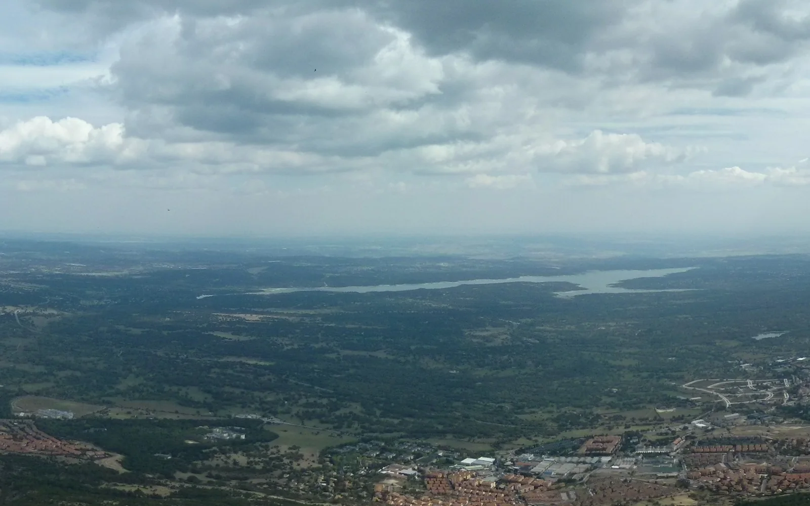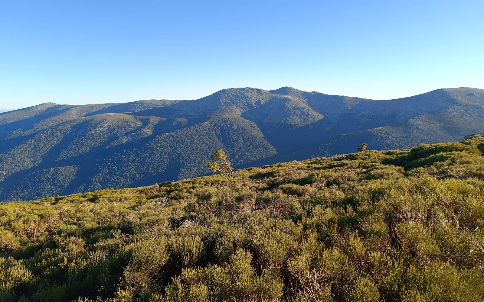
Sierra de Guadarrama National Park spans the Community of Madrid and Castile and León. This guide focuses on Madrid-side gateways at Cercedilla and the Fuenfría valley, Cotos and Peñalara, and La Pedriza near Manzanares el Real, each with different transport, weather and access checks.
Choose one gateway
Cercedilla gives access to the Fuenfría valley and routes through pine forest. Cotos is associated with the Peñalara area and higher terrain. La Pedriza, approached from Manzanares el Real, has distinctive granite formations and regulated vehicle access.
These areas should not be treated as interchangeable pins on a map. Choose the landscape and difficulty first, then confirm that the current transport, visitor centre and access arrangement supports the route.
Plan a safe day
Match the route to daylight, forecast, terrain and the slowest person in the group. Carry water, food, layers, sun protection and a charged phone, but do not treat equipment as a substitute for checking conditions. Turn back when weather, heat, snow or timing makes the planned route unsuitable.
Getting there
Cercanías reaches Cercedilla, and mountain rail or replacement arrangements may serve Navacerrada and Cotos depending on current operations. Intercity buses reach several towns and La Pedriza approaches. Driving widens the choice, but parking limits and road controls can close the convenient option early.
When to visit
Spring and autumn offer varied conditions rather than guaranteed easy weather. Summer heat and fire risk may limit exposed routes, while winter requires proper experience for snow and ice. Always use the forecast for the mountain location, not only central Madrid.
Access and conservation
Some viewpoints and visitor facilities are accessible, but many trails have steep, rocky or uneven surfaces. Check visitor-centre information for suitable routes. Follow signed restrictions, carry out waste and avoid leaving marked paths where conservation rules prohibit it.
Stay or return to Madrid
A straightforward lower-level walk can work as a long day from Madrid. Stay in a mountain town when you want an early trail start, a longer route or less dependence on the last city-bound service. El Escorial is a separate heritage base on the western side of the range.
Continue planning
Questions about Sierra de Guadarrama National Park
Can I visit Sierra de Guadarrama without a car?
Yes, but only after choosing a gateway served by current rail or bus services. Cercedilla is one of the clearest public-transport starting points.
Which part of the park should I visit first?
Choose Cercedilla for forest routes, Cotos for higher Peñalara landscapes, or La Pedriza for granite scenery. Match the route to current conditions and your experience.
Do I need to reserve access?
Some transport and regulated access arrangements can require booking or have capacity limits. Check the official park information for the exact gateway and date.
Is the Madrid weather forecast enough?
No. Mountain temperatures, wind, snow, storms and visibility can differ sharply from conditions in central Madrid.
Sources and updates
This guide was last reviewed on 2 September 2026. Transport, access and opening arrangements can change, so check the official source before travel.
- Sierra de Guadarrama visitor guide, VisitMadrid
- Sierra de Guadarrama National Park access information, Sierra de Guadarrama National Park
- Sierra de Guadarrama National Park, Community of Madrid
Related places to consider
These guides can help you place Sierra de Guadarrama National Park within a wider route.