
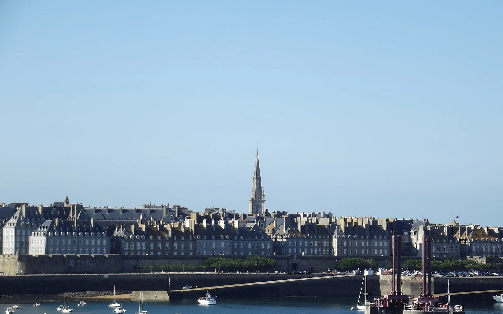
The ramparts, streets within intra-muros and Sillon beach form the main city route. Tides expose and cover causeways and shore sections quickly, so the day should follow current local information.
Two days cover the walled town and coast. A third can add Dinard, Cancale or a planned Mont-Saint-Michel connection, but each points in a different direction.
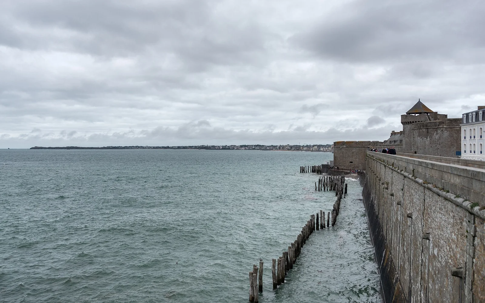
Walk the ramparts first
A full circuit gives the clearest view of the harbour, islands, beaches and rebuilt old city. Access points include stairs and selected easier approaches.
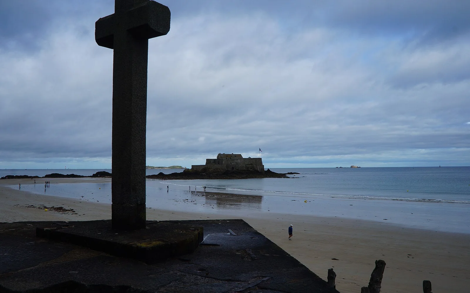
Use the tide as part of the plan
Fort National and some shore routes depend on safe tidal windows. Never follow other walkers without checking the official times.
Look beyond intra-muros
Sillon, Saint-Servan and the harbour districts add local life and different coastal views.
A practical itinerary
- Day 1: walk the ramparts and explore intra-muros.
- Day 2: follow Sillon beach, Saint-Servan or a safe tide-dependent route.
- Day 3: visit Dinard, Cancale or Mont-Saint-Michel with a confirmed return.
Getting there
Direct and connecting trains reach Saint-Malo station outside the walls, with buses and taxis for the final section. Ferries serve international and Channel Island routes on separate schedules.
Getting around
Walking covers intra-muros and the ramparts. Local buses reach the station, Saint-Servan and outer districts. Boats and excursions depend on weather and season.
Food to look for
Seafood, oysters from nearby Cancale, Breton crêpes, galettes and butter-rich pastries are easy to find. Compare menus outside the busiest intra-muros streets as well.
When to visit
Late spring to early autumn has the widest services and strongest demand. Winter is dramatic and quiet, but storms, wind and short daylight limit shore plans.
Accessible travel
The tourist office publishes a regularly updated accessibility guide and adapted old-city routes. Ramparts, cobbles and beaches still vary, so use the specific route information.
Practical limits
Tidal causeways can become dangerous quickly. Boat and ferry schedules change, and Mont-Saint-Michel transport should be checked before leaving Saint-Malo.
Nearby places
Cancale, Dinard and Dinan fit separate outings. Mont-Saint-Michel lies across the regional border in Normandy and needs at least half a day.
Places to add to your map
- Porte Saint-Vincent: Main entrance to intra-muros.
- Ramparts: Elevated circuit around the walled town.
- Sillon beach: Long beach northeast of the walls.
Open the route planner to place these stops in a wider France trip.
Continue planning
Questions about Saint-Malo
How long should I stay in Saint-Malo?
Two days cover the walls, old town and one coast route. A third day allows a nearby town or Mont-Saint-Michel connection.
Can I walk to Saint-Malo’s tidal islands at any time?
No. Causeways are covered by fast-rising tides. Check official local tide information and return well before the advised limit.
Is Saint-Malo accessible by train?
Yes. The station has direct and connecting services, followed by a bus, taxi or walk to intra-muros. Check the full accessible route if step-free travel is required.
Sources and updates
This guide was last reviewed on 28 August 2026. Transport, access and opening arrangements can change, so check the official source before travel.
- Official French rail journey planner, SNCF Connect
- Official accessible travel guidance for France, Atout France
- Official Saint-Malo visitor information, Saint-Malo Bay of Mont-Saint-Michel Tourism