
Start with the essentials
Plan Cape Greco at a glance
- Best bases
- Ayia Napa or Protaras
- Useful time
- Half to one day
- Main activity
- Coastal walking
- Main transport
- Bus, car or taxi
- Main risks
- Heat, wind and cliffs
About Cape Greco
Why explore Cape Greco
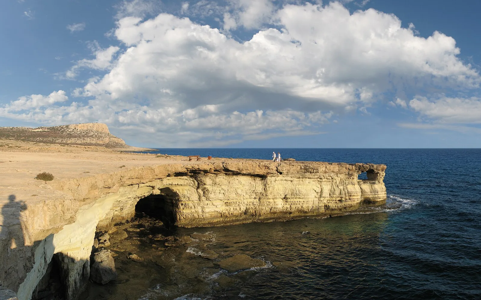
Cape Greco provides a natural break from the adjoining resort coast. Low scrub, limestone cliffs and clear sea views create an open landscape that feels very different from the beaches and hotels nearby.
The park rewards a modest plan. One official route, a chapel or viewpoint and time to return safely usually works better than chasing every pin in strong sun.
Plan the region
Use Ayia Napa or Protaras as the base and choose the trail before leaving. Carry water, protect against sun and avoid cliff edges or sea caves when wind and swell make them unsafe.
Bus routes may stop near useful access points, but frequency and stop names change. Confirm the current route and final return on the day.
Choose where to spend your time
Places to explore
2 guides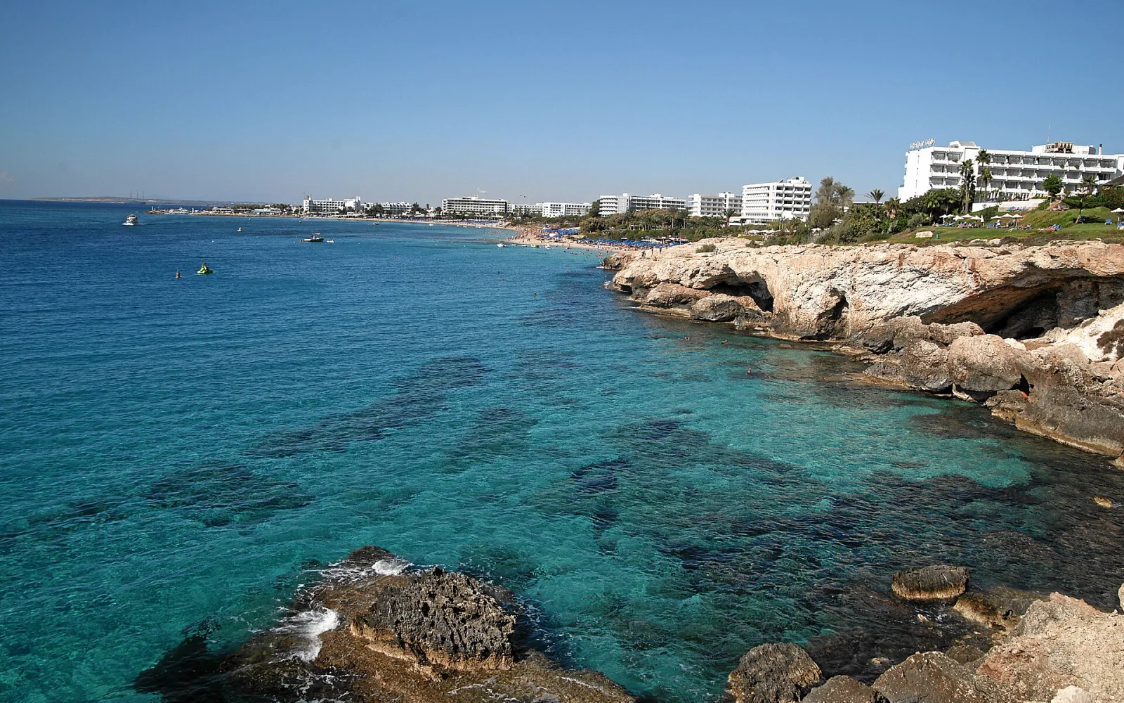
Ayia Napa
Ayia Napa combines a historic monastery, harbour, popular beaches and nightlife districts within a spread-out seasonal resort.
Open guide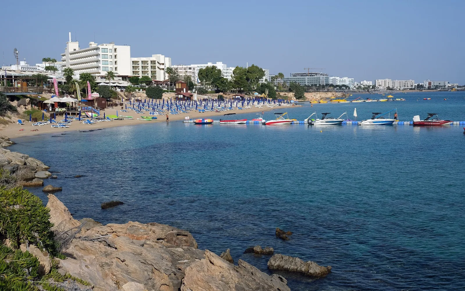
Protaras
Protaras is a southeast Cyprus resort arranged around bays, beaches and accommodation clusters, with Cape Greco close to the south.
Open guideBuild a coherent route
Plan by area
Ayia Napa approach
The western approach works for visitors based in Ayia Napa and for selected sea-cave viewpoints. Do not leave marked or permitted areas to reach an unsafe edge.
Protaras approach
The eastern side links toward Konnos Bay and Protaras. A coast walk still needs heat and return planning even when the resort is visible.
Forest park interior
Official trails cross exposed scrub and rocky ground. Choose the route by grade, distance and conditions rather than the number of mapped sights.
See the main travel bases
See the two gateways to Cape Greco
Loading the map…
Ayia Napa and Protaras are the practical accommodation bases. Bus stops and trail starts lie between them and should be checked against the current route.
Match the route to your time
What fits into your trip
One short route
Choose a single viewpoint cluster or short official trail, start early and return before the strongest heat. This is enough for a first visit when the rest of the day belongs to the resort coast.
A measured park day
Link one named trail with a beach or chapel only when transport and conditions allow. Carry supplies and leave enough time to reach the confirmed return stop before evening, and do not improvise along exposed cliffs.
Walking and coast separately
Use one morning for the park and another for a nearby bay. Splitting the activities reduces heat exposure and avoids treating cliffs, trails and swimming as one continuous outing when sea conditions alter the original plan.
Link the stops sensibly
Routes and day trips
Trailheads and viewpoints are spread across the headland. A route should begin from a confirmed access point and end near a known bus stop, parked car or taxi pickup.
Suggested regional routes
Short coastal trail
Follow an official marked route that matches the group. Turn back if heat, smoke, wind or poor footing makes the planned circuit unsuitable.
Open destination guideKonnos side and Protaras
Use the eastern access for a coast walk or bay visit, then continue to Protaras only with a clear bus or taxi plan.
Open destination guideRegional itineraries
Ayia Napa, Cape Greco and Protaras in 6 days
A six-day southeast Cyprus route combining Ayia Napa, one Cape Greco walk and a quieter Protaras finish.
Regional day trips
Cape Greco from Ayia Napa
A bus-and-walking day from Ayia Napa using one named Cape Greco stop and a short route that respects heat and daylight.
Trips beyond the region
These trips use Cape Greco as a starting point but cross into a neighbouring region.
Cape Greco from Ayia NapaChoose transport by destination
Getting around Cape Greco
The local coast bus is useful when its stops schedule fits, while a car or taxi gives more control over the chosen trailhead. Walking between every attraction is not sensible in heat.
Local bus
Check routes 101 and 102, the stop sequence and the latest timetable. Identify the return stop before starting the walk.
Car or taxi
Use recognised access points and do not block narrow roads. Arrange a pickup when the route does not return to the starting point.
On foot
Stay on official trails, carry an offline map and avoid unprotected cliff edges. Distance feels longer in exposed summer conditions.
Choose dates that suit the route
When to visit
Spring and autumn are generally better for longer walks. Summer requires a very early start and may make even short exposed routes unsuitable.
Wind and sea conditions affect cliff and cave areas. Fire controls can also restrict park access, so check current information before travelling.
Read the seasonal guide for CyprusAvoid common route problems
Planning checks
Avoid cliff shortcuts
A social-media viewpoint may require unsafe ground. Use marked routes and respect barriers.
Carry enough water
Shade and services are limited away from the resort edges. Do not depend on finding a kiosk during the walk.
Confirm the last bus
A one-way walk only works when the return transport is known. Keep a taxi option for timetable changes.
Quick answers
Questions about Cape Greco
How long do I need at Cape Greco?
Half a day suits one short route. A full day allows a longer trail and one nearby bay.
Can I reach Cape Greco by bus?
Yes on selected local routes, but confirm the current stops and return times before leaving.
Is Cape Greco suitable in midsummer?
Only for a carefully timed early visit. Strong heat can make exposed walking unsafe.
Where should I stay?
Ayia Napa and Protaras are both practical. Choose according to the preferred resort atmosphere and park access.
How this guide is checked
Sources and review
Reviewed 3 September 2026, next review due 3 March 2027. Services, access rules and opening arrangements can change, so check the official source before travel.
- Agia Napa area map, Cyprus Deputy Ministry of Tourism
- Protaras map, Cyprus Deputy Ministry of Tourism
- Bus routes, OSEA
- Routes 101 and 102 stop sequence, OSEA
- Nature Trails hiking map, Visit Cyprus
Continue through Cyprus
Regions that connect naturally
Ammochostos Region
The government-controlled Ammochostos Region covers Ayia Napa, Protaras and Cape Greco, with beaches, resort services and exposed coastal trails.
Continue planning
See more of Cyprus
Use the country guide to compare Cape Greco with other regions and destinations in Cyprus.