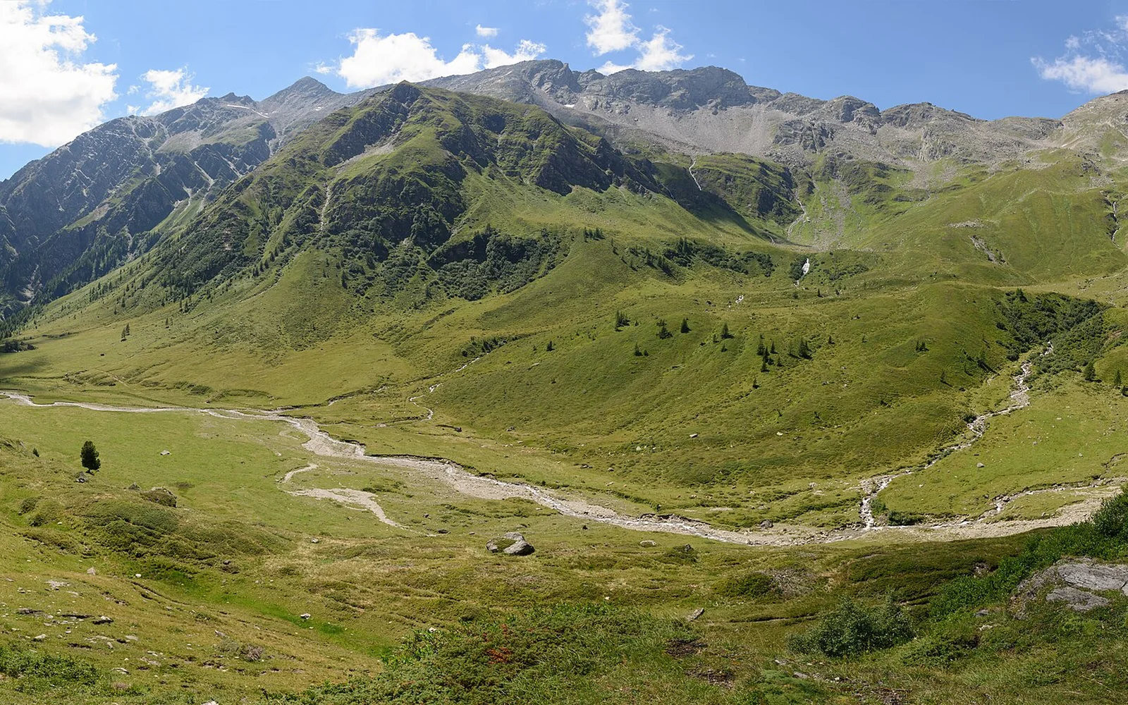
Hohe Tauern cannot be covered from one entrance. Salzburg, East Tyrol and Carinthia have their own valleys, visitor centres and transport routes within the same protected area.
Start with what makes Hohe Tauern National Park distinct
Hohe Tauern cannot be covered from one entrance. Salzburg, East Tyrol and Carinthia have their own valleys, visitor centres and transport routes within the same protected area.
Choose one gateway for a short visit. Use ranger programmes, visitor centres and official current-condition advice to understand routes that match the season and your experience.
Choose one park sector
Mittersill serves the Salzburg side, Matrei provides an East Tyrol base, and Mallnitz is a useful Carinthian rail gateway. Other valleys have separate access.
Prepare for high mountains
Weather, snow, rockfall and thunderstorms can affect routes even in summer. Carry appropriate equipment and turn back when conditions deteriorate.
Protect Hohe Tauern National Park
Stay on suitable routes, follow wildlife and dog rules, carry waste out and respect closed or protected areas.
Build a realistic visit to Hohe Tauern National Park
Day 1: visit the chosen gateway centre and confirm current conditions.
Day 2: take a ranger activity or suitable valley route.
Day 3: use the best forecast for a higher walk within experience limits.
Days 4 to 5: explore a second valley only if local transport and weather make it realistic.
Arrive and move around Hohe Tauern National Park
Rail reaches gateways including Mallnitz and stations along the Salzburg and Tyrol corridors, followed by local buses or transfers. The correct route depends on the selected park sector.
Regional buses, seasonal hiking services and valley roads are sector-specific. A car helps in some valleys but parking and road access remain controlled.
Choose the right conditions for Hohe Tauern National Park
Valley centres can operate beyond the main hiking season. High trails have a much shorter safe window, and winter travel requires avalanche-aware planning.
Visitor centres and selected valley paths may be accessible. Most high routes are steep, uneven and exposed. Ask the relevant park office for current accessible options.
The park spans three states and many valleys. Do not use a single generic weather forecast or assume a distant visitor centre serves the planned trail.
Continue from Hohe Tauern National Park
Zell am See-Kaprun, Gastein and the Grossglockner road are separate gateways or experiences. Each needs its own current access check.
Continue planning
- Explore SalzburgerLand
- Explore Tyrol
- Explore Carinthia
- Plan the Grossglockner road
- Plan Gastein
- Austria travel guide
Questions about Hohe Tauern National Park
Which state is Hohe Tauern National Park in?
It spans Salzburg, Tyrol and Carinthia. Choose a gateway according to the valley or route you want.
Can I visit without a car?
Yes in selected gateways using rail, buses and seasonal hiking transport. The exact connection is local.
Do I need a guide?
Not for every valley walk, but a ranger or qualified guide is valuable for unfamiliar high routes and specialist activities.
Sources and updates
This guide was last reviewed on 3 September 2026. Transport, access and opening arrangements can change, so check the official source before travel.
- Official Austria travel information, Austrian National Tourist Office
- Austrian rail timetable and service updates, ÖBB
- Hohe Tauern National Park visitor information, Hohe Tauern National Park
- Official SalzburgerLand visitor information, SalzburgerLand Tourism
- Official Tyrol visitor information, Tyrol Tourist Board
- Official Carinthia visitor information, Carinthia Tourism
Related places to consider
These guides can help you place Hohe Tauern National Park within a wider route.