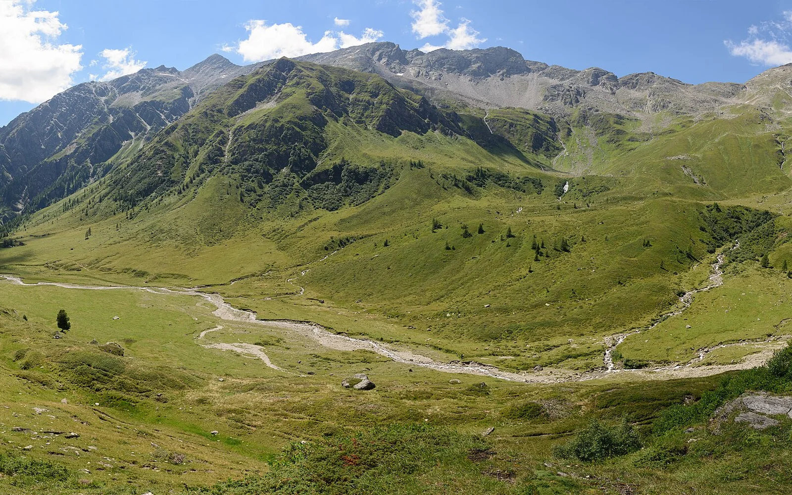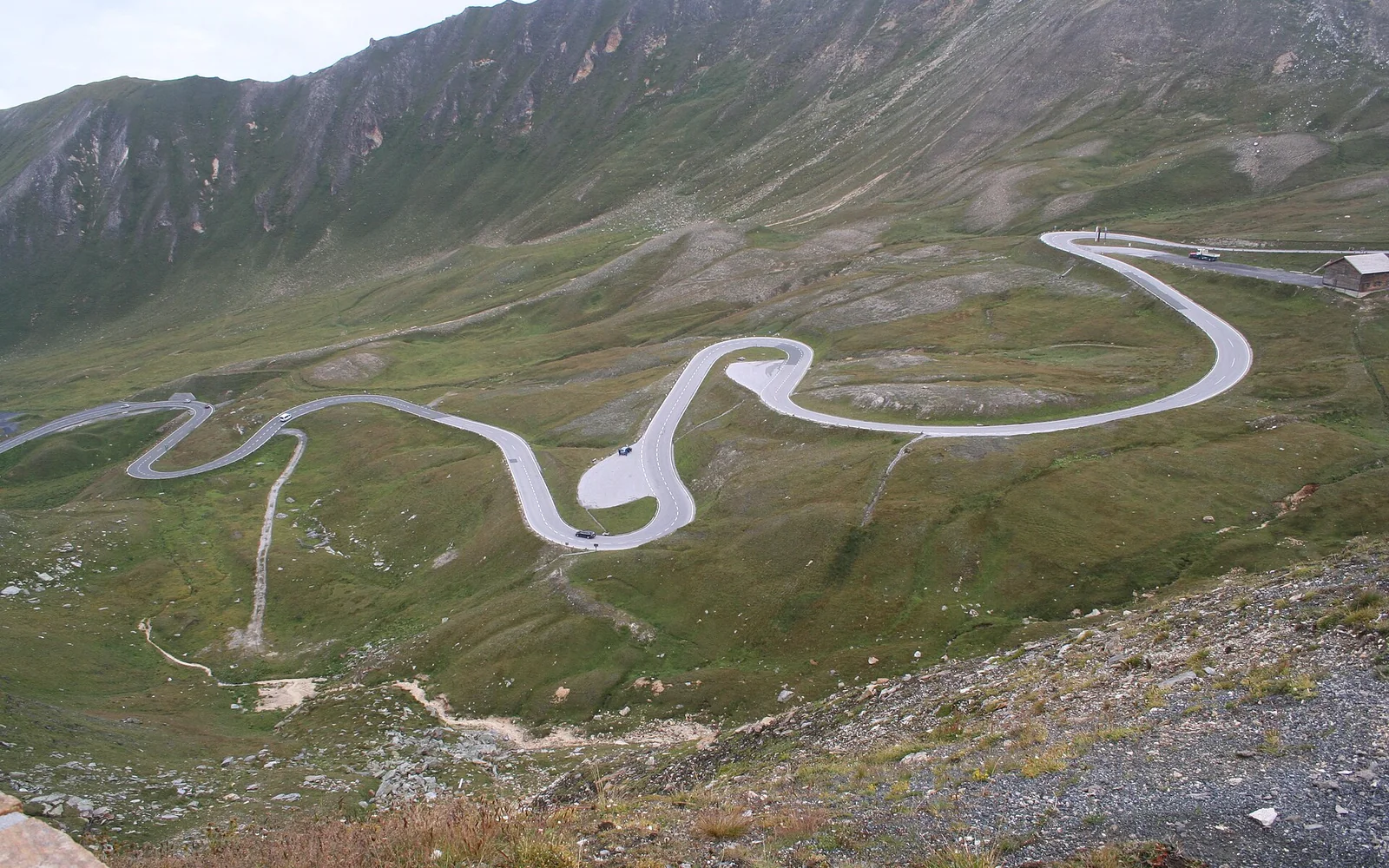
The road crosses high terrain through Hohe Tauern National Park and closes for winter. Even within the operating season, snow, wind, fog or events can restrict access at short notice.
Start with what makes Grossglockner High Alpine Road distinct
The road crosses high terrain through Hohe Tauern National Park and closes for winter. Even within the operating season, snow, wind, fog or events can restrict access at short notice.
Allow a full day. Viewpoints, exhibitions and short walks add time, and the safest plan avoids racing to the final entry or night closure.
Check live opening
Use the official road site on the morning of travel for opening hours, traffic notices, tolls and weather. Do not rely on a general seasonal date.
Choose key stops
Edelweissspitze, Hochtor and Kaiser-Franz-Josefs-Höhe serve different views and facilities. Select stops according to visibility and time.
Drive for the conditions
Use lower gears on descents, watch for cyclists and motorcycles, and expect rapid temperature and visibility changes.
Build a realistic visit to Grossglockner High Alpine Road
Morning: check live status and enter with ample daylight.
Midday: stop at one or two northern viewpoints and cross Hochtor.
Afternoon: continue to Kaiser-Franz-Josefs-Höhe if open, then leave enough time for the chosen exit.
Arrive and move around Grossglockner High Alpine Road
The toll approaches begin near Ferleiten on the Salzburg side and Heiligenblut on the Carinthian side. Public excursions may operate on limited dates, but ordinary car-free access is not assured.
The experience is built around a private vehicle, motorcycle, bicycle or confirmed excursion. Stop only in designated places and follow traffic staff.
Food and local stops in Grossglockner High Alpine Road
Restaurants and kiosks operate at selected stops during the road season. Carry water and a backup snack because facilities can close with weather or season.
Choose the right conditions for Grossglockner High Alpine Road
The official road normally operates from early May to early November, but exact dates and daily access depend on snow and conditions. It is closed in winter.
Major visitor stops have parking and some accessible facilities, but viewing paths, snow and gradients vary. Check the official accessibility information.
The toll is separate from the motorway vignette. Camping is not permitted along the road, and driving outside official opening times is prohibited.
Continue from Grossglockner High Alpine Road
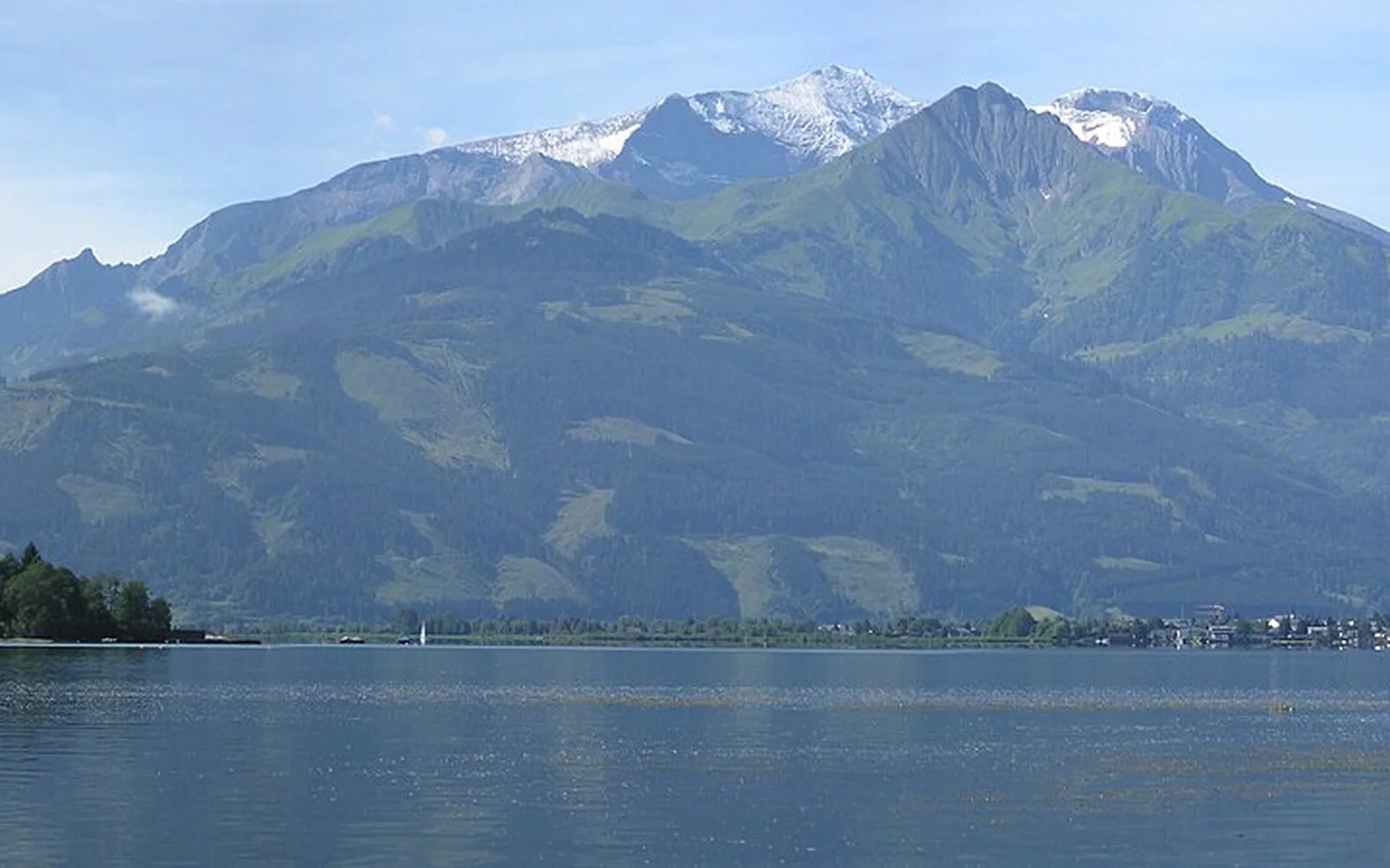
Zell am See-Kaprun is a practical northern base. Heiligenblut serves the southern side, while the wider national park needs a separate multi-day plan.
Continue planning
- Read the national park guide
- Stay near the northern approach
- Plan the Carinthian side
- Austria travel guide
Questions about Grossglockner High Alpine Road
Is the Grossglockner road open all year?
No. It closes in winter and can face short-term restrictions during the operating season. Check live status.
Do I need a motorway vignette for the road?
The scenic road has its own toll. A vignette may still be required for motorways used to reach it.
How long should I allow?
Allow a full day for viewpoints, traffic and weather rather than treating it as a fast crossing.
Sources and updates
This guide was last reviewed on 3 September 2026. Transport, access and opening arrangements can change, so check the official source before travel.
- Official Austria travel information, Austrian National Tourist Office
- Austrian rail timetable and service updates, ÖBB
- Official Zell am See-Kaprun visitor information, Zell am See-Kaprun Tourism
- Hohe Tauern National Park visitor information, Hohe Tauern National Park
- Grossglockner High Alpine Road visitor information, Grossglockner High Alpine Road
- Official Carinthia visitor information, Carinthia Tourism
Related places to consider
These guides can help you place Grossglockner High Alpine Road within a wider route.