
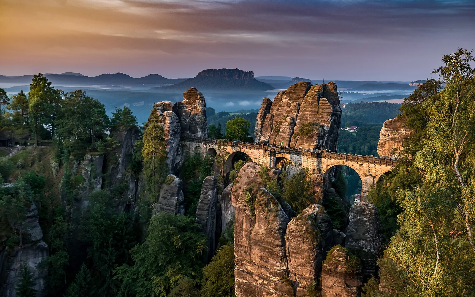
Bastei is the best-known viewpoint, but the national park extends across several valleys, ridges and gateways. Bad Schandau is the main transport and information base.
Begin with the trail area and transport home
Bastei is the best-known viewpoint, but the national park extends across several valleys, ridges and gateways. Bad Schandau is the main transport and information base.
Choose one trail area per day. Trains run along the Elbe, followed by ferries or hiking buses, and the final connection must be planned before entering a long route.
Use an official map
Sandstone paths, ladders and ridge routes vary greatly. Follow marked routes and current closures from the park authority.
Reach Bastei with realistic expectations
The famous bridge draws large crowds. Early arrival helps, but steps and steep surfaces remain part of the route.
Protect the forest
Fire restrictions, path rules and quiet zones exist for good reasons. Carry water and remove all waste.
Keep Bastei and deeper trail routes separate
Day 1: visit the park information centre and take a valley-level route.
Day 2: explore Bastei and Rathen with train and ferry times fixed.
Day 3: choose a second marked area such as Schrammsteine according to conditions.
Use rail, ferry and bus as one complete journey
The park lies about 40 kilometres east of Dresden. S-Bahn line S1 reaches Elbe stations, and Bad Schandau also receives longer-distance services.
Trains, Elbe ferries and hiking buses connect gateways. Trails then range from easy promenades to exposed steps and ladders.
Follow closures, fire rules and weather advice
Spring and autumn are popular. Summer can bring heat, storms and fire restrictions. Winter adds ice and snow to exposed sandstone routes.
The park publishes lower-barrier mobility options, but many headline viewpoints are not step-free. Use the official route details and ask about current surfaces.
Closures and fire rules can change quickly. Drones, camping and off-trail access are restricted, and cross-border hiking into Czechia needs its own plan.
Return to Dresden or stay in the park region
Dresden is the main city gateway. The protected sandstone landscape continues into Bohemian Switzerland across the Czech border.
Continue through Saxony
Saxon Switzerland safety questions
Can I visit Saxon Switzerland from Dresden?
Yes. The S-Bahn reaches several gateways, but one day should focus on a single trail area with the return planned.
Is Bastei inside the national park?
Bastei belongs to the wider Saxon Switzerland protected landscape and national-park region. Follow the official local signs and current rules.
Do I need hiking equipment?
Supportive footwear, water and weather protection are sensible even for popular routes. More demanding trails require experience with steep steps and exposure.
Sources and updates
This guide was last reviewed on 3 September 2026. Transport, access and opening arrangements can change, so check the official source before travel.
- Germany travel planning, German National Tourist Board
- DB passenger information, Deutsche Bahn
- Official accessible travel guidance for Germany, German National Tourist Board
- Official Dresden visitor information, City of Dresden
- Official Saxon Switzerland National Park information, Saxony Forest Service
- Official Saxon Switzerland transport information, Saxony Forest Service