
Adamas is the port and bus hub, while Plaka and Trypiti form the main inland village cluster. Sarakiniko is reached by road, and Kleftiko is normally approached by boat.
Separate the north coast from the boat day
Adamas is the port and bus hub, while Plaka and Trypiti form the main inland village cluster. Sarakiniko is reached by road, and Kleftiko is normally approached by boat.
Many beaches have little shade and rough access. Choose a few strong coast days rather than racing around the island in a small vehicle.
See Sarakiniko early
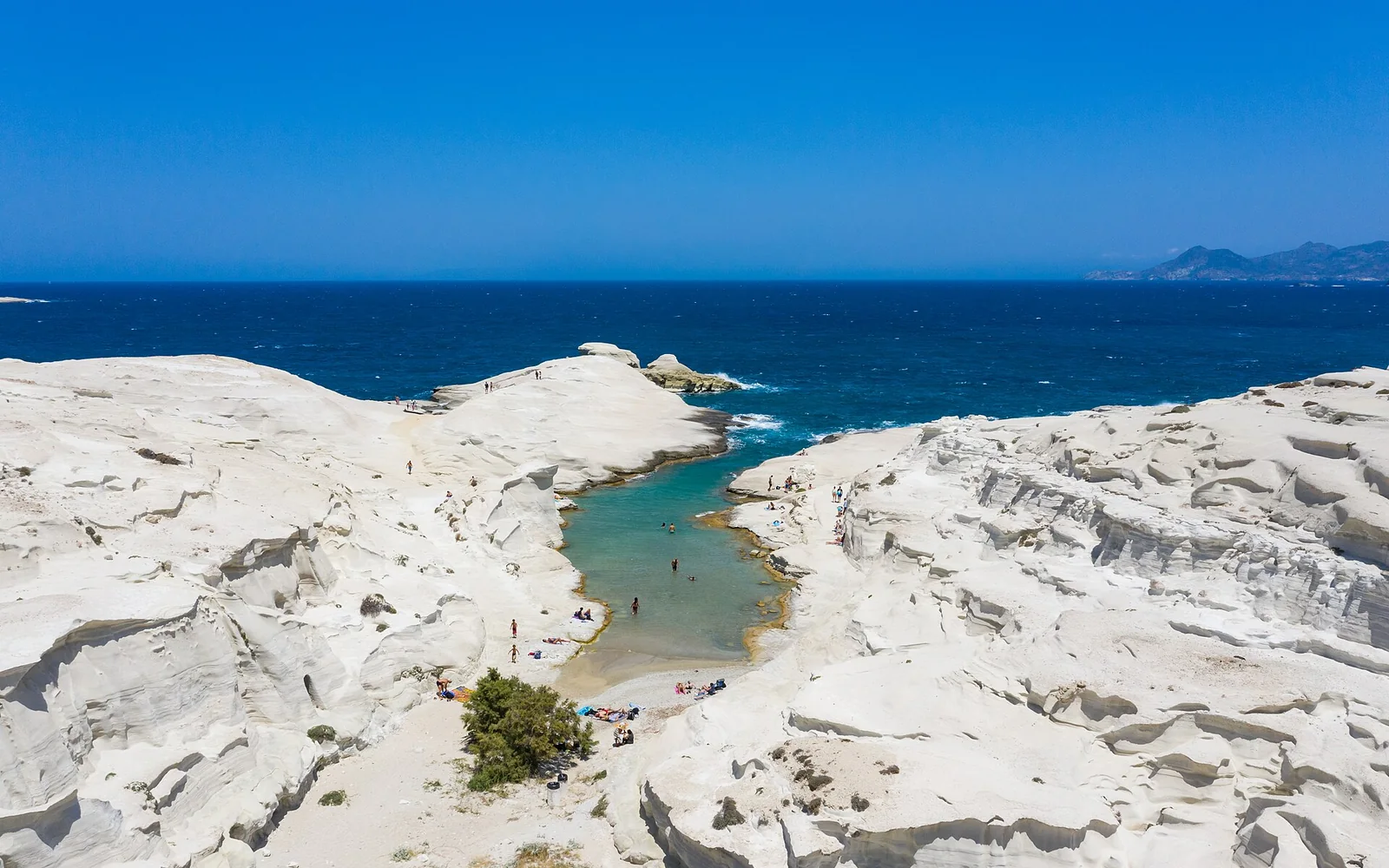
The white volcanic coast is exposed and popular, with little shade and slippery rock near the water.
Choose the boat route carefully
Kleftiko trips differ in duration, vessel, swimming access and wind policy.
Keep an evening for Plaka
The village lanes and views add inland context to a coast-heavy stay.
Build a realistic visit to Milos
Day 1: settle in Adamas and explore Plaka or Trypiti.
Day 2: visit Sarakiniko and nearby north-coast stops.
Day 3: take a weather-confirmed Kleftiko boat route.
Day 4: choose a south-coast beach and mining-history stop.
Arrive and move around Milos
Ferries arrive at Adamas, and the small airport handles domestic flights. Keep time between arrival and a fixed boat departure.
Buses link the main settlements and selected beaches in season. A car helps elsewhere, but some western roads need a suitable vehicle and clear rental permission.
Food and local stops in Milos
Look for local cheeses, watermelon pie, capers, tomato dishes and fresh fish. Adamas, Pollonia and Plaka have different evening atmospheres.
Choose the right conditions for Milos
June and September suit sea and road travel with less pressure. July and August are busy and windy. Boat and bus services reduce outside summer.
Village lanes, volcanic rock and beach paths vary greatly. Ask boat operators about boarding and swimming ladders before booking.
Cliff edges and sea caves require caution. Wind changes boat routes, and rental agreements may restrict unpaved western roads.
Continue from Milos
Kimolos is the closest island excursion. Santorini, Paros and Piraeus connections vary by day and season.
Continue from Milos
Milos island questions
How many days do I need on Milos?
Four days allow villages, Sarakiniko, a boat route and one more coast day.
Do I need a car on Milos?
Not for the main bus-served stops, but a car adds flexibility. Check road restrictions with the rental company.
Can I reach Kleftiko by road?
Most visitors use a boat. Land approaches are demanding and should only be attempted with reliable local route information.
Sources and updates
This guide was last reviewed on 3 September 2026. Transport, access and opening arrangements can change, so check the official source before travel.
- Official Greece travel planning, Greek National Tourism Organisation
- Official Greek islands visitor information, Greek National Tourism Organisation
- Official Greek rail journey planner and service updates, Hellenic Train
- Official Cyclades visitor information, Greek National Tourism Organisation
- Official Milos visitor information, Greek National Tourism Organisation