
Start with the essentials
Plan Low Tatras at a glance
- Northern gateway
- Demänovská Valley
- Valley base
- Liptovský Mikuláš
- Central approach
- Banská Bystrica
- Useful time
- 3 to 5 days
- Essential check
- Park and cave status
About Low Tatras
Why explore Low Tatras
The Low Tatras combine a long central ridge with forest valleys, caves and distinct approaches on either side of the range.
Their scale is easy to underestimate. A short trip should stay on one side and let weather determine the order of the days.
Plan the region
Use Demänovská Valley for the best-known northern access, or choose a southern gateway only when its routes are the real focus.
Separate show-cave visits from demanding mountain days. Both involve fixed constraints that make a rushed combination unreliable.
Choose where to spend your time
Places to explore
3 guidesDemänovská Valley
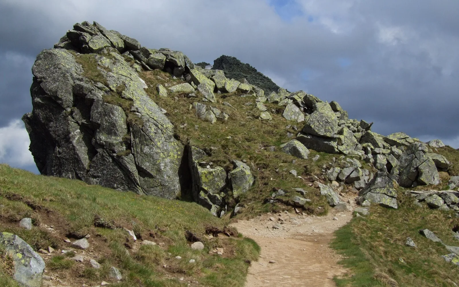
Demänovská Valley is the principal northern gateway into the Low Tatras, combining show caves, resort areas and routes that rise towards the main ridge.
Open guide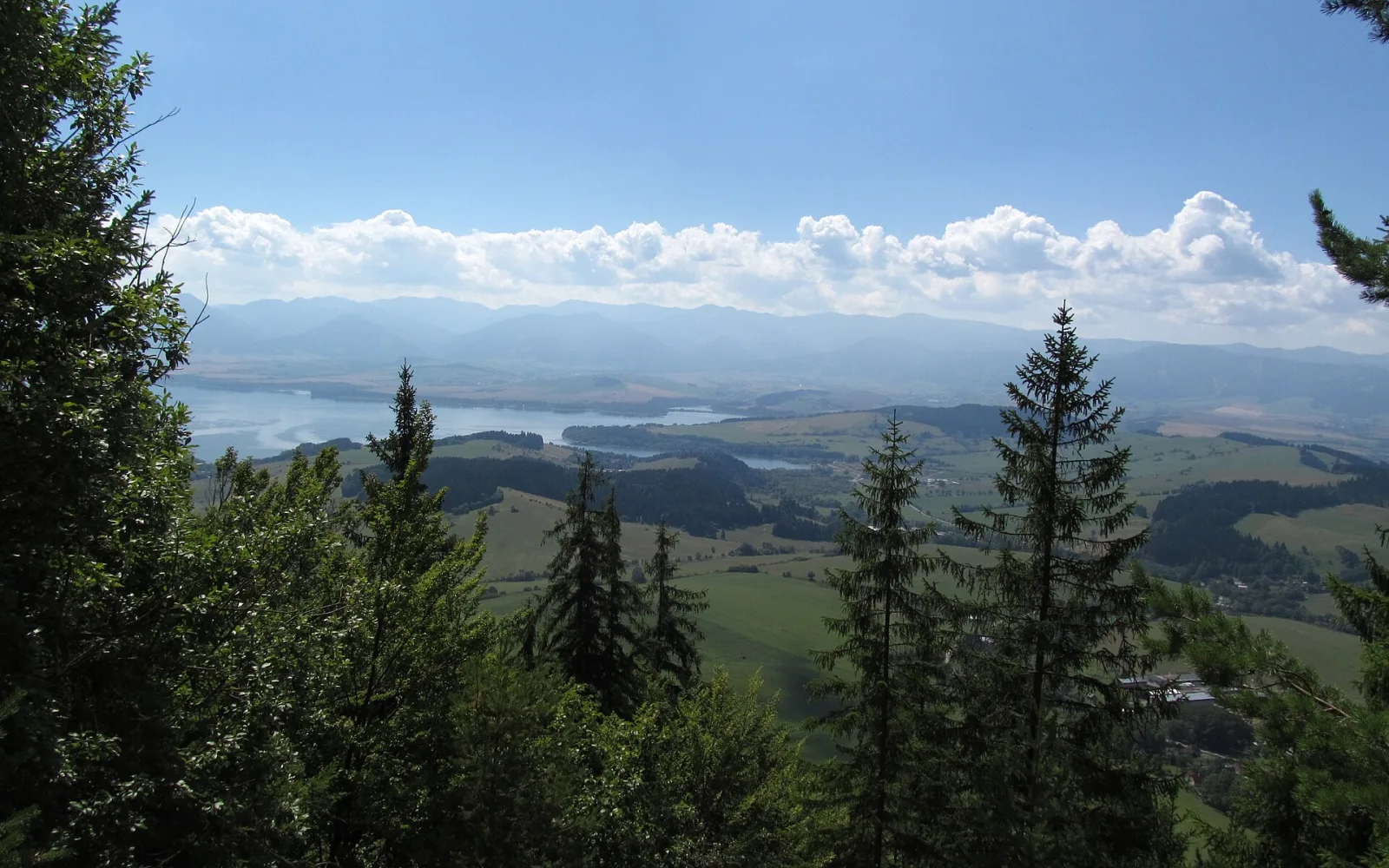
Liptov
Liptov is a broad valley region between mountain ranges, linking towns, caves, a reservoir and several very different outdoor gateways.
Open guide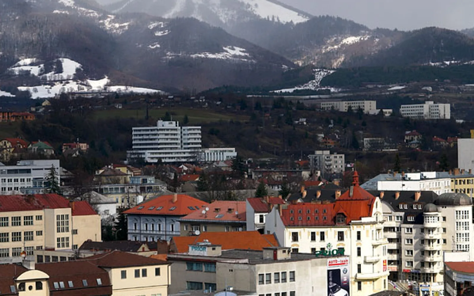
Banská Bystrica
Banská Bystrica is a central Slovak city with an elegant main square, important twentieth-century history and useful access to surrounding mountain areas.
Open guideBuild a coherent route
Plan by area
Northern gateway
Demänovská Valley links show caves, resort areas and routes towards the main ridge.
Central and southern approach
Banská Bystrica supports a different set of valleys and transport connections.
See the main travel bases
See the main Low Tatras gateways
Loading the map…
Demänovská Valley serves the northern side, while Liptov and Banská Bystrica connect the range to wider rail and road routes.
Match the route to your time
What fits into your trip
One side of the range
Choose a northern or southern base and keep all three days on that side. Plan one suitable mountain day, one lower route and one flexible day that can absorb poor weather or a timed cave visit.
Valley and ridge
Stay near the chosen gateway, using separate days for the ridge, a lower forest route and one cave or cultural stop. The fourth day provides the margin that a high, weather-exposed range requires.
Two nearby bases
Use one main mountain base and add a valley town only when the move improves transport. Crossing the full range repeatedly is less useful than exploring one side and continuing naturally towards Liptov or central Slovakia.
Link the stops sensibly
Routes and day trips
Use the valley town for arrival and supplies, then stay closer to the planned mountain side when early starts matter.
Suggested regional routes
Demänovská Valley
Give one day to a cave or lower route and one to a suitable mountain plan.
Open destination guideCentral Slovakia connection
Use Banská Bystrica as a city and transport stage, not a same-day ridge commute.
Open destination guideRegional itineraries
Liptov and the Low Tatras
A six-day mountain and valley stay using Liptovský Mikuláš as the main transport base.
Choose transport by destination
Getting around Low Tatras
Seasonal buses serve popular northern points, with wider rail access through Liptov. Southern valleys and dispersed trailheads often need a car or arranged transfer.
Valley buses
Confirm the first and last useful service for the exact season.
Rail gateways
Use Liptov towns or Banská Bystrica according to the chosen side.
Driving
A car helps with rural access but not with storms, parking or trail closures.
Choose dates that suit the route
When to visit
The broadest high-route season is controlled by current park rules and conditions.
Caves and lower walks may operate on different calendars from mountain services.
Read the seasonal guide for SlovakiaAvoid common route problems
Planning checks
Do not cross the range casually
Road and transport routes are longer than the map suggests.
Separate cave and ridge days
Timed tours and exposed walks need different schedules.
Carry a lower plan
Forest, valley and town days provide real alternatives.
Quick answers
Questions about Low Tatras
Which side should I choose?
Use the northern side for Demänovská Valley, or a southern gateway for routes specifically reached from there.
Can I visit a cave and hike the ridge?
Use separate days unless both plans are genuinely short and current schedules align.
Is public transport enough?
It works for selected northern routes, while dispersed access is easier by car.
How long should I stay?
Three nights give a basic mountain plan and one weather margin day.
How this guide is checked
Sources and review
Reviewed 3 September 2026, next review due 3 September 2027. Services, access rules and opening arrangements can change, so check the official source before travel.
- Show caves of Slovakia, Slovak Caves Administration
- Visit Liptov, Region Liptov
- Low Tatras National Park, Low Tatras National Park Administration
Continue through Slovakia
Regions that connect naturally
Liptov
Liptov is a broad valley region between mountain ranges, linking towns, caves, a reservoir and several very different outdoor gateways.
High Tatras
The High Tatras compress alpine scenery into a short range served by several resort bases and a useful electric railway.
Slovak Paradise National Park
Slovak Paradise is a forested gorge park where ladders, metal steps, wet rock and one-way sections make route choice more important than distance alone.
Continue planning
See more of Slovakia
Use the country guide to compare Low Tatras with other regions and destinations in Slovakia.