
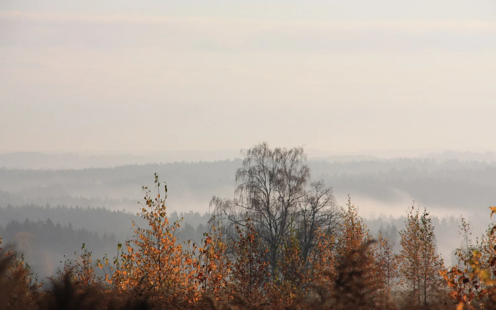
The park is too large for a single checklist. Choose Sigulda, Cēsis or another gateway, then build one day around a marked trail and one nearby cultural site.
Pick a gateway before a trail
Sigulda gives the easiest rail access and a dense group of valley sights. Cēsis pairs a medieval town with northern trails, while Turaida combines a museum reserve with views over the Gauja.
Distances across the park can look modest on a map but involve slow roads, steep paths or infrequent local transport. A focused section produces a better day than crossing between every well-known outcrop.
Use official route information
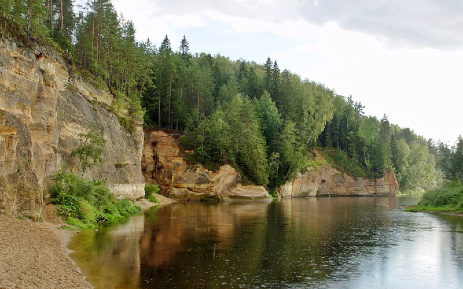
Sandstone, riverbanks and forest paths can be damaged by weather and erosion. Follow closures, marked routes and barriers, and do not climb protected cliffs or enter caves outside permitted access.
Carry an offline map, water and clothing for changing conditions. Longer canoe, cycling and hiking routes need a verified start, finish and return plan rather than a rough distance estimate.
Link nature with one heritage site
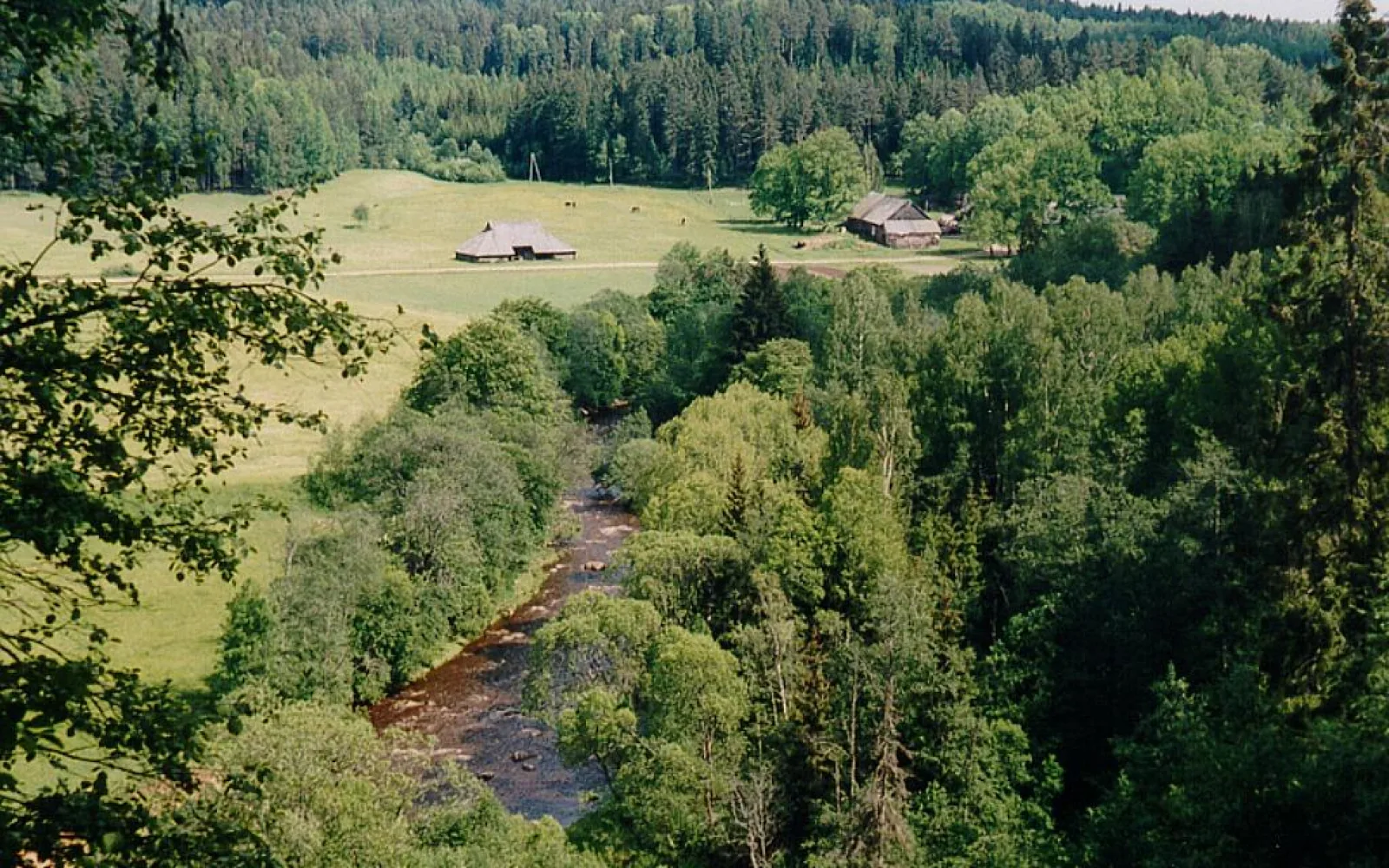
Turaida, Sigulda and Cēsis show how settlement and defence developed around the valley. One castle complex alongside one trail gives context without reducing either place to a rushed photograph.
Smaller manor houses and industrial heritage sites can support a longer stay, but their opening patterns are often limited. Confirm access directly before building a rural day around an interior visit.
Recheck seasonal risks
Spring thaw, high water, storms, wildfire controls, snow and ice can all alter the safe route. The park authority’s current notices should take priority over an older itinerary or saved map.
Autumn weekends bring concentrated crowds around Sigulda. Travel outside the busiest hours or use a Cēsis-based route when the main viewpoints and trains are under pressure.
Continue planning in Latvia
Questions about Gauja National Park
Where should I base myself for Gauja National Park?
Sigulda is easiest for a first short visit. Cēsis works well for a longer stay and northern trails.
Can I see the park without a car?
Yes through Sigulda and Cēsis, though the final connection limits which trails fit in one day.
How many days does the park need?
Two or three days covers two gateways and selected trails. One day should focus on a single section.
Is autumn the best time?
Autumn colour is popular, but late spring and summer offer longer days and can be easier for extended walking.
Sources and updates
This guide was last reviewed on 3 September 2026. Transport, access and opening arrangements can change, so check the official source before travel.
- Cēsis, Latvian Tourism Development Agency
- Information for passengers, Vivi
- Latvia public transport timetable, 1188 Latvia
- Gauja National Park, Nature Conservation Agency of Latvia
- Sigulda, Latvia Travel
- Gauja National Park, Latvia Travel
- Turaida Museum Reserve, Turaida Museum Reserve